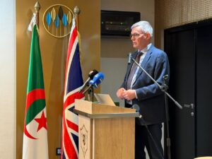
IGS was pleased to attend the Algeria–UK Mining Conference held in Algiers on 13th October 2026 and hosted by the Algeria British Business Council (ABBC).
Dr. Ashley Johnson delivered a presentation titled “Modern Government Geoscience Data in the Search for Critical Minerals“, highlighting how government geoscience data can support the identification and exploration of critical mineral resources.
The conference brought together a distinguished audience, including Algeria’s Secretary of State for Mining, H.E. James Downer, the British Ambassador to Algeria, and leaders from across Algeria’s business and government sectors.
IGS a eu le plaisir de participer cette semaine à Alger le 13 octobre 2026 à la conférence algéro-britannique sur l’industrie minière, organisée par l’Algeria British Business Council (ABBC).
Le Dr Ash Johnson a effectué une présentation intitulée “Données géoscientifiques gouvernementales modernes à la recherche de minéraux critiques“ devant un auditoire comprenant le secrétaire d’État auprès du ministère algérien des Mines, H.E. James Downer (ambassadeur du Royaume-Uni en Algérie) ainsi qu’un grand nombre de dirigeants d’entreprises et de responsables gouvernementaux algériens.
(For more information, please contact us at enquiries@igsint.com)
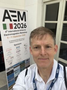
From AEM2026 in Sicily to SEG Geomin2026 in Tashkent, IGS representatives attended several conferences in September.
Feargal Murphy attended the excellent AEM2026 conference in Sicily, which was packed with presentations on advances in airborne EM in recent years. Key takeaways included the importance of accounting for IP and SPM effects in AEM inversion, although implementing this is far from trivial. There are also many new software tools available for AEM processing and inversion, alongside significant advances in drone AEM survey capabilities.
The conference organisation was fantastic, with meals, coffee breaks, and locally themed cultural and social activities all helping to facilitate further stimulating discussions.
The next AEM conference will take place in North America in 2029.
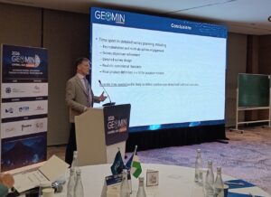
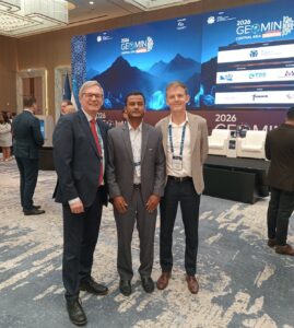
Feargal then joined Ash Johnson at Geomin2026 in Tashkent, where, as part of a session focused on unlocking mineral systems, Feargal presented a framework for more systematic airborne geophysical survey planning.
Overall, it was an excellent second edition of GEOMIN, with strong local engagement. One thing is clear: AI is being widely used, not only in exploration and production workflows, but also in preparing presentations — perhaps too much in the latter! There were some great applications, and most are, thankfully, not ignoring the physics.
We look forward to the next edition in Jeddah in 2027.
(For more information please contact us at enquiries@igsint.com)
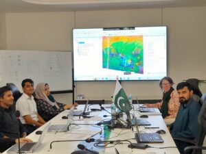
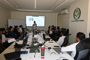
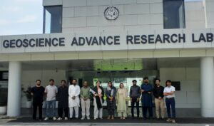
The IGS team delivered the final phase of the 30-day Capacity Building Training Programme at the Geological Survey of Pakistan (GSP) in Islamabad from 9–13 August 2026. The five-day remote sensing training workshop was delivered by Dr. Lesley Gibson.
The workshop covered the acquisition and processing of ASTER, Sentinel-2, and Landsat data, as well as a range of remote sensing processing and analysis techniques to enhance lithological discrimination in support of geological mapping and mineral exploration. Practical sessions introduced techniques used in both hyperspectral and multispectral image processing, including band ratios, Principal Component Analysis (PCA), Minimum Noise Fraction (MNF), and spectral unmixing. Particular emphasis was placed on understanding the principles underlying these techniques and critically interpreting their outputs.
The 11 participants were a pleasure to work with. They were motivated and engaged throughout the workshop, bringing excellent geological insights to the practical exercises and discussions. It was particularly rewarding to see participants enthusiastically interpret the results in the context of their own geological knowledge and the study areas they had selected.
Their enthusiasm and active participation throughout the workshop made for a highly rewarding five days of training.
(For more information please contact us at enquiries@igsint.com)
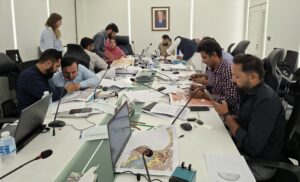
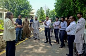
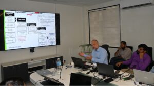
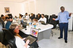
 IGS travelled to Islamabad in July and August for the third phase of the Training and Capacity Building Programme at the Geological Survey of Pakistan (GSP), delivered under the UK FCDO technical assistance REMIT (Revenue Mobilisation, Investment and Trade) Programme. This phase of the programme delivered a series of workshops focused on digital geological mapping techniques and workflows.
The first workshop, Remote Sensing Interpretation for Mapping Geologists, was delivered by Paul Macey and focused on strengthening the technical capacity of the trainees in spatial analysis techniques, remote sensing using geophysical imagery, and the integration of geological, geophysical and geochemical data to develop a geological understanding of an area.
The second workshop, Digital Geological Mapping Workflows, was delivered by Rowan Vernon and Paul Macey and centered on developing the trainees’ understanding of the end-to-end digital workflow, from the initial stages of project planning through to the publication of a geological map. The workshop also covered the structure, design and management of the geodatabases that underpin a geological mapping project.
The final workshop, ArcGIS Pro for Geological Mapping, was delivered by Christopher Duku and Rowan Vernon and further developed the trainees’ ArcGIS Pro capabilities in the digitisation and layout of geological maps, as well as the development of customised field data collection systems using Esri Field Maps.
The IGS trainers greatly enjoyed their visit to GSP and appreciated the enthusiasm and commitment demonstrated by the trainees throughout the workshops.
(For more information please contact us at enquiries@igsint.com)
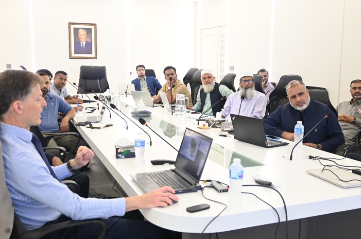
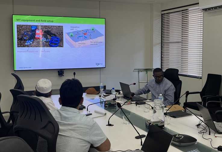
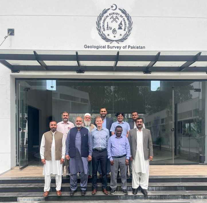
IGS delivered a 2 week workshop focused on geophysics for mineral exploration to the Geological Survey of Pakistan (GSP) in June under the UK FCDO technical assistance REMIT (Revenue Mobilisation, Investment and Trade Programme) project. The workshop is part of a more extensive training series delivered by IGS, and supported by the Adam Smith International. The workshop was delivered to GSP’s geophysics team by IGS geophysicists Feargal Murphy and Mohammednur Ture. The workshop was focused on the application of airborne geophysics for the Pakistan mineral exploration context but also covered elements of ground geophysics and UAV surveys. The IGS trainers very much enjoyed the workshop and it was a fruitful two-way learning experience with a highly engaged and experienced team from GSP who extended their very warm hospitality and enthusiasm to the IGS team.
(For more information please contact us at enquiries@igsint.com)
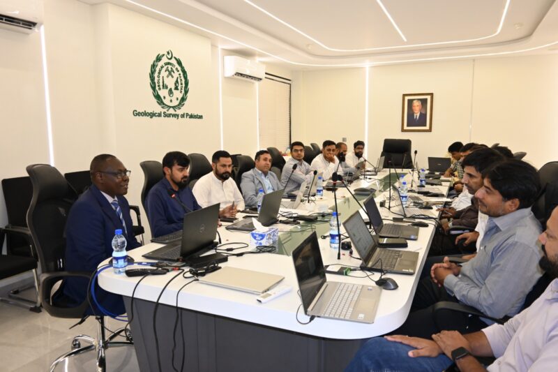
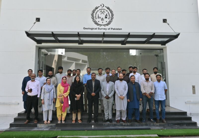
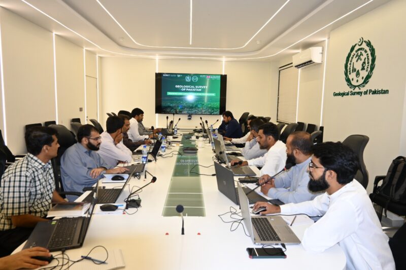
The IGS team has successfully delivered the second phase of the 30-day Capacity Building Training Programme at the Geological Survey of Pakistan (GSP). This phase focused on an Introduction to ArcGIS Pro and was delivered by Christopher Duku of International Geoscience Services (IGS).
The training was designed to strengthen GSP’s technical capabilities in ArcGIS Pro implementation, digital data interpretation, map production, modern data collection, and GIS data management workflows. Participants also explored multi-data compilation and integration, spatial analysis, data visualisation, and metadata management.
The adoption and application of ArcGIS Pro will support GSP in improving the efficiency, consistency, and quality of geological data management and spatial analysis, while enhancing its capabilities in digital geological mapping, data visualisation, and modern GIS-based workflows.
IGS extends its sincere thanks and appreciation to the leadership and participants of GSP for their active engagement, commitment to learning, and collaborative approach throughout this second phase of the capacity-building programme.
We look forward to building on this strong momentum and continuing our collaboration with GSP through the upcoming stages of the training programme.
(For more information please contact us at enquiries@igsint.com)
Following press release is courtesy of REMIT:
UK launches capacity building initiative for Geological Survey of Pakistan to strengthen mineral sector
Islamabad, April 16th 2026.
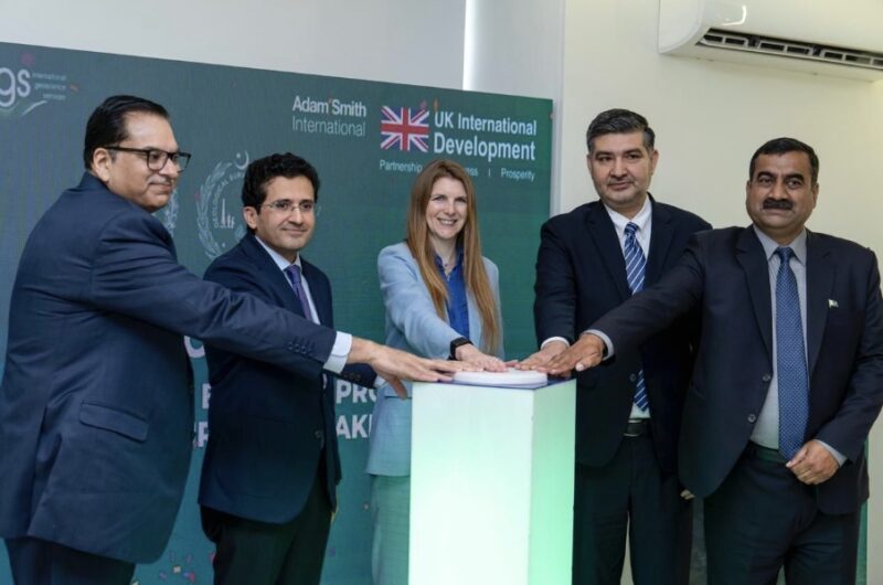
A UK-supported capacity building initiative aimed at strengthening Pakistan’s geoscientific capabilities and unlocking the country’s mineral potential was launched on Wednesday at the Geoscience Advance Research Laboratories (GARL), Islamabad.
The initiative, supported by the United Kingdom through its Foreign, Commonwealth and Development Office (FCDO) under the REMIT (Revenue Mobilisation, Investment and Trade) Programme, is being implemented in partnership with IGS (International Geoscience Services), a UK-based consultancy with extensive experience in supporting national geological survey organisations.
Federal Minister for Petroleum, Mr. Ali Pervaiz Malik, addressing the launching ceremony, underscored the importance of strengthening Pakistan’s geoscientific base to fully realise the potential of the mineral sector. He noted that the global shift towards clean energy has increased the importance of minerals, and Pakistan, with its established geological potential, offers strong opportunities for responsible investment. He reiterated the Government’s commitment to developing the sector in a sustainable, transparent and investor-friendly manner.
British High Commissioner, Ms. Jane Marriott CMG OBE, said that Pakistan possesses significant geological potential, which can be unlocked through credible and modern geoscientific data. She noted that the UK is supporting Pakistan in building the technical capacity and systems required to attract responsible investment and achieve long-term economic growth.
Director General, Geological Survey of Pakistan, Mr. Adnan Alam Awan, thanked the Government of the United Kingdom for the timely support and highlighted ongoing reform initiatives within GSP, including digitisation of legacy geoscientific data, initiation of new geophysical surveys, and human resource development measures. He noted that the present initiative under the FCDO-supported framework would significantly contribute towards achieving these institutional goals.
The DG GSP also recalled the contributions of British geoscientists who led the organisation in its early years after independence and laid a strong scientific foundation. He noted that initiatives such as the Commonwealth Colombo Plan reconnaissance geological mapping continue to serve as an important reference for geological work in Pakistan.
The programme will run from April to July 2026 and focuses on strengthening the technical capability of GSP through hands-on training aligned with international standards. The training will cover key areas including digital geological surveying, geochemical sampling, airborne geophysics and Geographic Information Systems (GIS), enabling the development of an end-to-end digital geological survey process from fieldwork to final mapping outputs.
The initiative is expected to enhance GSP’s ability to independently design and execute national-level surveys to internationally acceptable standards, thereby improving data quality and investor confidence in Pakistan’s mineral sector.
The launch event was attended by senior representatives from the Government of Pakistan, including senior officials and representatives of IGS (International Geoscience Services), who joined virtually.
(For more information please contact us at enquiries@igsint.com)
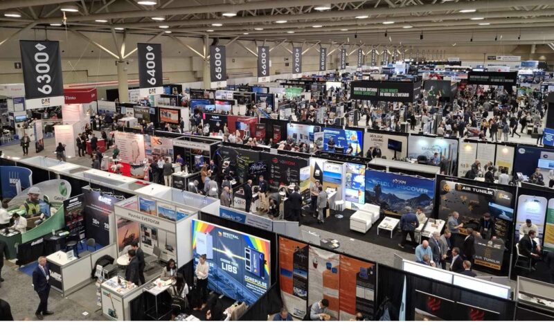
Professor Garth Earls, Peter Zawada and Christoph Dobmeier attended PDAC 2026 in Toronto, Canada. As usual it was great to meet up with colleagues, friends and partners from the mining sector. The country focused sessions were particularly informative.

(For more information please contact us at enquiries@igsint.com)
Inadab 2026 generated many productive discussions for IGS, with colleagues and clients old and new.
IGS was part of the UK pavilion. A key takeaway was the glaring need to ramp up critical mineral (particularly copper) discoveries and mine development.
A key input – pre-competitive geo-data – was the theme of most of our discussions & meetings.
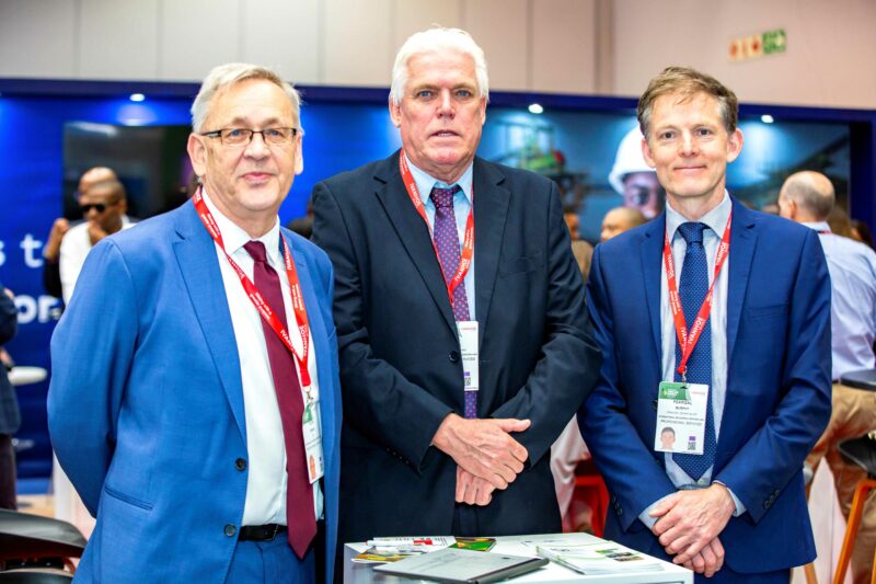
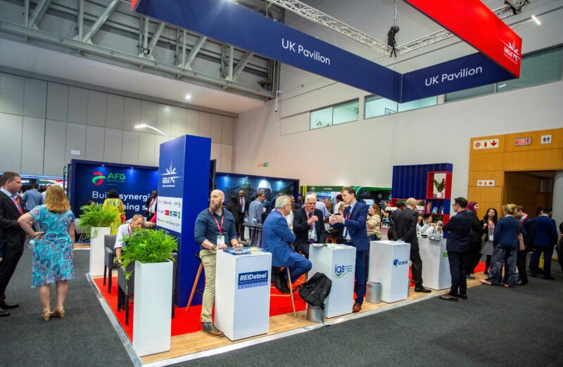
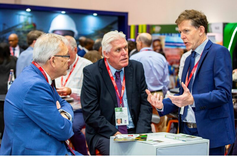
(For more information please contact us at enquiries@igsint.com)
It was a pleasure for IGS to exhibit at the Hub of Excellence as part of FMF 26 in Riyadh, Saudi Arabia. Our stand was busy with visitors and of particular interest. There was increase level of interest from KSA’s junior exploration sector. Once again it was great to meet with current and prospective clients from many countries.
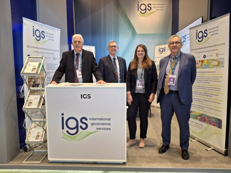
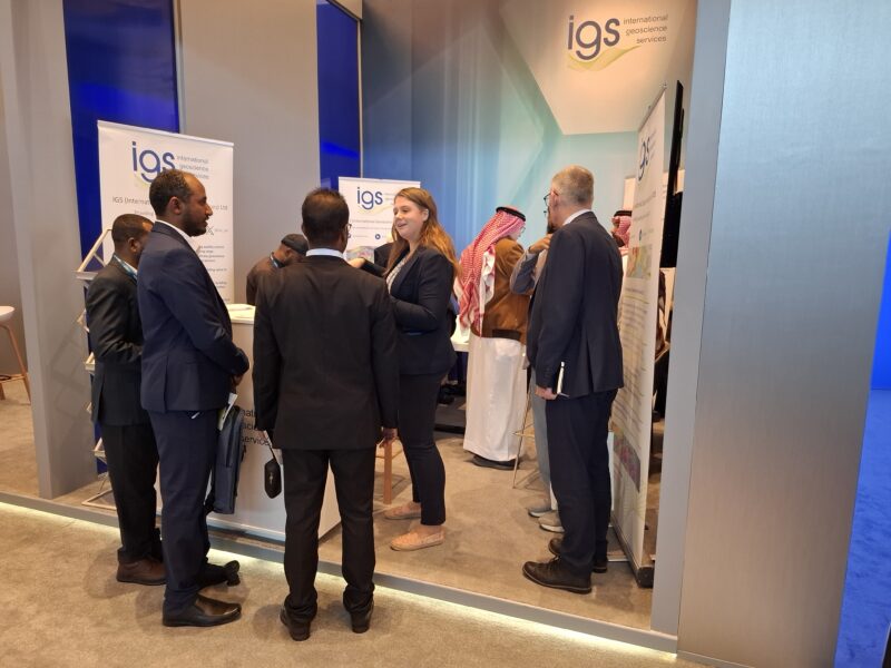
(For more information please contact us at enquiries@igsint.com)
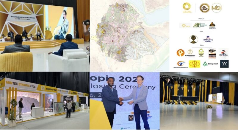
The geological institute of Ethiopia and the Federal Democratic Republic of Ethiopia (FDRE) Ministry of Mines invited IGS to present at Mintex 2025 on the multi-sector applications of regional airborne geophysics.
The many insightful questions reinforced the importance of expanding pre-competitive geoscience data in Ethiopia—especially across the Neoproterozoic terranes and regions with high geothermal potential.
Dr. Feargal Murphy of IGS was pleased to attend and contribute to such an engaging conference and trade show. The range of topics — from mineral policy and legal frameworks to artisanal mining, new exploration activity, and recent mine developments — made for an informative and productive event.
(For more information please contact us at enquiries@igsint.com)
Feargal Murphy and Rowan Vernon each presented updates on IGS’s work on the Saudi Geological Survey Regional Geoscience Program (RGP) at GEOMIN 2025 on the 13th and 14th October 2025.
The conference brought together 500 attendees and over 100 presentations. There were many presentations showcasing the fantastic geophysical and geochemical datasets released on the National Geoscience Portal (NGD).
Rowan presented updates on the Geological Mapping of the Arabian Shield (GMAS) project; supporting the discovery of New Mineral Resources. The initial products of the work are expected for release on the NGD in early 2026.
Feargal’s presentation covered examples of how the Phase 1 RGP airborne geophysics (magnetic and radiometric data) can be used for exploration with a focus on using open-source tools for data visualisation and enhancement.
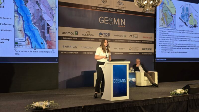
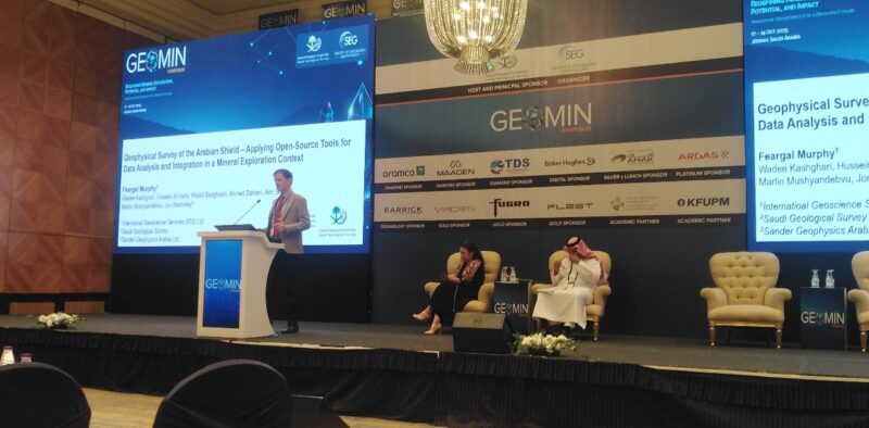
Feargal and Rowan presenting at GEOMIN 2025 in Saudi Arabia
(For more information please contact us at enquiries@igsint.com)