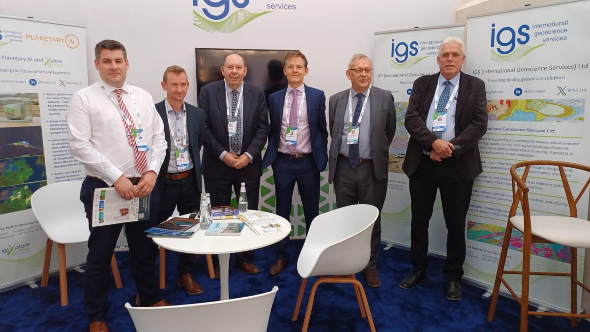
IGS has a fully experienced team of specialists. Get in touch with us today for your pre-competitive data and infrastructure specialist needs.
View our Team profiles below
Dr. Peter Zawada
Managing Director
Geologist with over 30 years of experience. Previously Executive Manager Regional Geoscience and Mapping at the Council for Geoscience, South Africa, where he was responsible for national and commercial international multi-million dollar programmes and capacity-building initiatives. He has experience in reform and restructuring of National Geological Survey Organisations e.g. Botswana and Algeria.
Frik has more than 45 years of experience in geological work, especially in geological mapping, specializing in map compilation, international geological programs and institutional reform of National Geological Surveys, worldwide. He has previously worked for 33 years for the Council for Geoscience (South Africa) before joining IGS in 2014. He has also worked as an independent consultant to the minerals and mining community.
Frik has overseen several large international geological projects on behalf of funding agencies such as the World Bank, Islamic Bank, African Development Bank, Nordic Development Fund and various governments. He has worked with all the large geological surveys such as the BGS, BRGM, USGS, GTK, NGU, CGS (China), CGS (South Africa) and many other national geological surveys. He has worked in most of the SADC (Southern African Development Countries), as well as in projects in Mauritania, Madagascar, Mozambique, Cameroon, Uganda and Lao. Frik has also been involved in the institutional reform projects in the National Geological Surveys of Suriname, Algeria, Zambia and Malawi. Currently he is active in the various geologic projects been carried out in Saudi Arabia by the Saudi Geological Survey, where he has acted as Project Manager and Leader of the geological mapping component.
Frik Hartzer has a PhD degree from the University of Johannesburg, South Africa.
Ash Johnson is a geophysicist and business leader with over 30 years’ experience in research, global business development, leadership and corporate governance. Ash is the founder and director of Joluco Ltd, a geoscience business consulting company helping companies bridge the gap between science and business.
Ash started his career at the British Antarctic Survey, rising to Head of Airborne Geophysics and competing 5 Antarctic field seasons. He then spent more than 20 years at Geosoft Inc., a global geoscience software company, in various executive business leadership roles internationally. He served on the Board of Directors in Canada and the UK until the sale of the company in 2018. Ash currently serves as a Director of IDPeX Ltd, an Indian company partly owned by IGS.
He has degrees from York, Leeds and the Open University and holds a Diploma in Company Direction from the Institute of Directors
Feargal manages large-scale airborne geophysical QA/QC projects at IGS, with recent work in Saudi Arabia, Nigeria, and India. He brings extensive field and interpretation experience, having spent over a decade with Sander Geophysics Ltd leading survey crews across the Americas, EAME, and Australasia, and playing a key role in the early commercial deployment of the Falcon gravity gradiometer and Sander AIRGrav systems. At ARKeX Ltd, he led multi-disciplinary interpretation projects integrating potential field, seismic, and geological data for hydrocarbon clients, and headed the interpretation department.
Feargal holds a 1st class BSc in Geophysical Science (UCD) and a PhD in Global Seismology (DIAS). Reflecting the growing intersection of geoscience and the energy transition, he also holds an MSc in Renewable Energy Systems Technology (Loughborough University), for which he received the Tony Marmont Prize for best graduating student.
Mohammednur Ture is a geophysicist with over 35 years of experience in different fields and sub disciplines of geophysics which include among others the airborne geophysics, ground geophysics, magnetotellurics, geothermal, hydrocarbon and coal exploration, wireline logging and various methods of surveying and mapping.
Rowan is an experienced mapping geologist with expertise in GIS-based digital geological mapping, structural geology and tectonics. She previously worked at the British Geological Survey leading an international mapping project and carrying out geological mapping and structural studies throughout the UK.
Much of her work focused on providing geological data and knowledge to the groundwater and renewable energy sectors, as well as creating products to inform natural hazard planning and management, and developing new digital geological mapping systems. With IGS, Rowan is conducting QC/QA of geological mapping in Saudi Arabia.
Christopher Duku is a trained Geologist/GIS specialist with a long experience in the use of geospatial data. He worked in different companies in the UK and the Netherlands including working for the Ministry of Petroleum and Mining Republic of South Sudan as Director of Mineral Exploration and Head of Mining Cadastre System.
Christopher is experienced in GIS data acquisition, data quality control and interpretation of Remote Sensing data. He has very good experience in the use of ESRI products including GIS software such as ArcGIS Pro, QGIS and MapInfo.