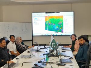
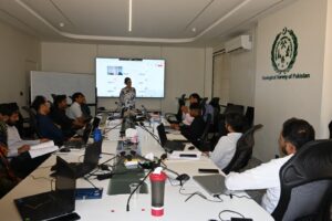
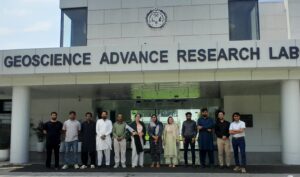
The IGS team delivered the final phase of the 30-day Capacity Building Training Programme at the Geological Survey of Pakistan (GSP) in Islamabad from 9–13 August 2026. The five-day remote sensing training workshop was delivered by Dr. Lesley Gibson.
The workshop covered the acquisition and processing of ASTER, Sentinel-2, and Landsat data, as well as a range of remote sensing processing and analysis techniques to enhance lithological discrimination in support of geological mapping and mineral exploration. Practical sessions introduced techniques used in both hyperspectral and multispectral image processing, including band ratios, Principal Component Analysis (PCA), Minimum Noise Fraction (MNF), and spectral unmixing. Particular emphasis was placed on understanding the principles underlying these techniques and critically interpreting their outputs.
The 11 participants were a pleasure to work with. They were motivated and engaged throughout the workshop, bringing excellent geological insights to the practical exercises and discussions. It was particularly rewarding to see participants enthusiastically interpret the results in the context of their own geological knowledge and the study areas they had selected.
Their enthusiasm and active participation throughout the workshop made for a highly rewarding five days of training.
(For more information please contact us at enquiries@igsint.com)