MAGTAP Project: Training of Mozambiquan Geologists
The 2019 field season of the geological mapping project in the Nampula Province in northern Mozambique has been completed. During three field campaigns between early July and mid-November detailed outcrop descriptions, structural measurements and samples were collected at more than 3,000 localities spread over ten 1 : 50,000 map sheets.
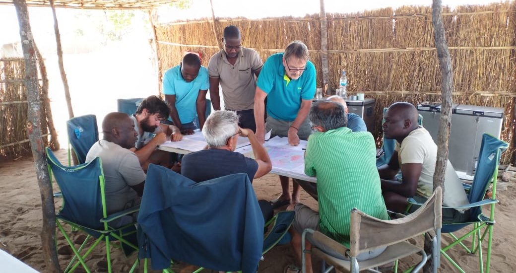
Parallel to the geological field work, the project also serves as an opportunity to provide INAMI (Instituto Nacional de Minas de Moçambique) geologists with on-site training in digital geological mapping techniques using digital devices and software. Additionally, the INAMI geologists were also trained in the processing and application of the collected field data. As feedback for this training we received the following comments in response to a questionnaire that was posed to the trainees at the end of the first field season:
Regarding geological on-site training…
My geological knowledge has improved a lot and working geographic programs used for data processing are new and I’ve had good training and I’m happy about it. There was a lot of patience on the side of the consultants to train us on these programs which facilitated my learning and work.
My skills have improved a lot and I am grateful. Specially handle data sets and having the opportunity to work with digital mapping was very important to me.…
Regarding the integration of colleagues to due rotational system…
The communication was very good with the new colleagues. We easily manged to integrate them to our “field camp family”.
The integration of colleagues from the other partners (BRGM, GONDWANA, PGW) was very good.
Certainly, these changes created some different dynamics and effected the harmony of work because, as we all know, despite the common goals, each geologist has his particularities regarding field work and methodologies
It was very good, and I pretty much enjoyed being able to meet and work with different people from different countries.
Identifying challenges in terms of field work…
The biggest challenge is field life itself, sleeping in a tent and facing some plants like monkey beans specially in the first two campaigns doesn’t just make life easier.
Honestly, the biggest challenge for me was to get along to get along with the English language. For the rainy season, I have already registered at the evening school, English lessons.
General comments…
The difference is that in this project there was rotation of the team members during field work, which enabled to get to know different work technique and strategies. Further, all team members were free to give their opinion and to participate in the discussions for the delimitation of geological units. Generally, the project is well organised, and the implementation is good.
This project comes up with more advanced technologies in data processing and availability. A big advantage are the recent geophysical data to target mapping areas of special interest. Another big plus are previously digitised outcrops using satellite imagery, especially in dense vegetation this was a perfect help. Other projects did not have this multitude of auxiliary material. The time until the beginning of the 2020 field season will be used to evaluate the collected geological field data and to use it in context with initial analysis results for the re-interpretation of the geological maps.