Contractor Presents Mobile Mapping Application for Geological Mapping Project of the Arabian Shield
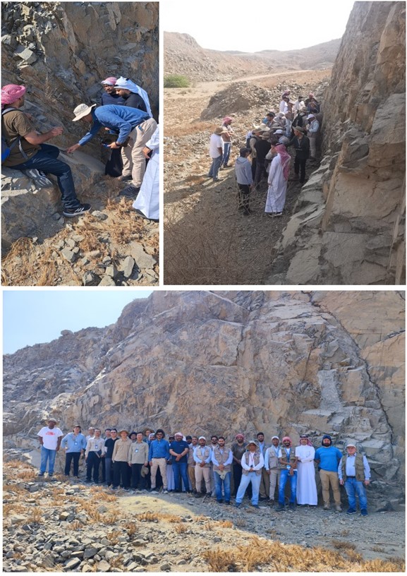
As part of the preparation for the mobile digital mapping of the Arabia Shield, the contractor (China Geological Survey) presented a beta version of its self-developed mobile application. At a two-day workshop in Jeddah, geologists from the Saudi Geological Service (SGS) and IGS geologists as Technical Partner of SGS were able to get an introduction of how the software can be used in the field. Based on experiences made in the field and input by SGS and TP, the contractor aims to optimize on the mobile mapping application.

Geological Mapping of the Arabian Shield – Contractor presents Mobile Mapping Application
By Dr. Reik Degler – Project Geologist
(For more information please contact us at enquiries@igsint.com)
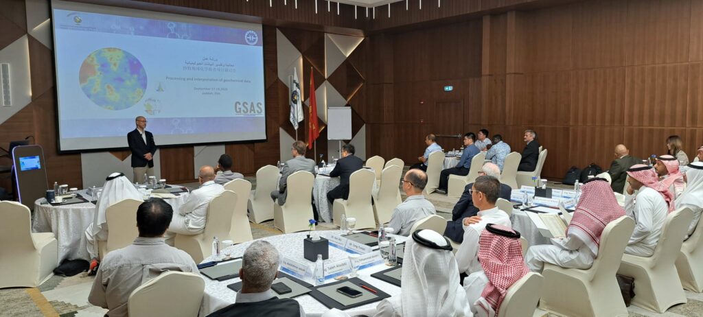
Workshop on high-resolution Geochemical Survey of the Arabian Shield (GSAS) using stream sediment and heavy mineral concentrate samples
Dr Esko Korkiakoski, the new IGS Team Leader for the Geochemical Survey of Arabian Shield (GSAS) gave the opening presentation at a recent two day open session workshop held at Swissôtel Living Jeddah Hotel on 17-18 of September 2023. He outlined the current status and objectives of the survey. During the session of the workshop, China Geological Survey (CGS) (the technical operator of the field sampling, analytical work and map production) presented about 90,000 stream sediment samples.
IGS Ltd and Geological Survey of Finland (GTK) are technical partners to Saudi Geological Survey (SGS). They are in charge of the quality control of the geochemical survey, giving support and advice in all aspects related to the project implementation, and approval of the final products.

By Dr. Esko Korkiakoski (IGS Ltd) – Technical Partner team leader for the SGS Geochemical Survey of Arabian Shield (GSAS)
(For more information, please contact us at enquiries@igsint.com)
