Xplore Mineral Prospectivity – A Planetary AI and IGS Partnership
![]()
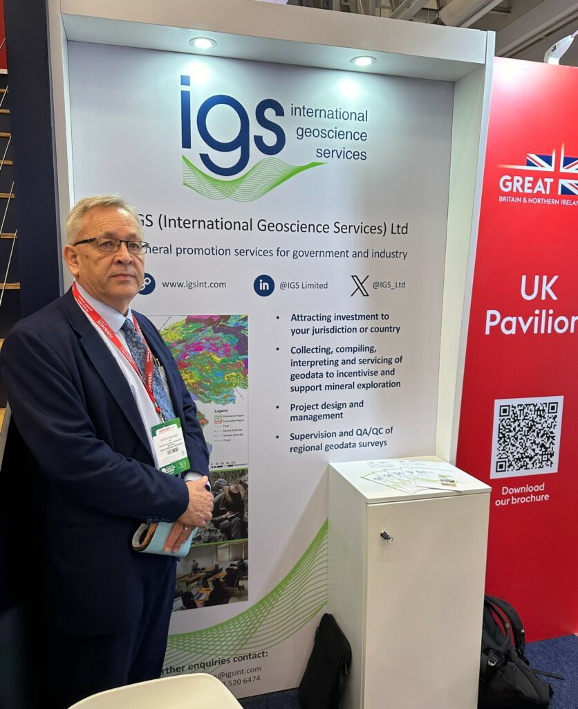
Planetary-AI is delighted to announce its partnership with IGS (International Geoscience Services), a leading provider of earth-based intelligence to governments worldwide.
The partnership agreement will see both companies collaborating to deliver cutting- edge target generation for the mineral exploration and mining industry via the Xplore Mineral Prospectivity Platform. Our partnership provides huge opportunities for both companies to expand our mineral targeting capabilities. The partnership agreement will see Planetary-AI expand its services into using Xplore for exploration planning and field-based data acquisition through various geological, geochemical and geophysical surveys. Our new partner, IGS, maintains a high reputation and wealth of experience in the early stages of mineral exploration with governments around the world, and we look forward to working closely with them as we further develop our Xplore software platform.
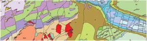
The Xplore Platform, first developed by IGS, is software that enables geographic targeting of mineral resources based on a plethora of information both geological and topographical. The software’s intelligence is based on over fifty (50) mineral deposit types that are found all around the world, which are dependent on factors such as geology, structure, age, mineralogy and specific spatial geological relationships. Xplore has been significantly enhanced through a major re-development project over the last 18 months. It is unique in comparison to other types of mineral targeting software as it is underpinned by proven geological mineral deposit intelligence from experts combined with an array of artificial intelligence technologies, to enable the machine to ‘Think like a Geologist’.
Planetary AI is pleased to announce that it will soon start a major project for Botswana Diamonds, using the Xplore platform to analyse the companies’ vast datasets with the goal of yielding fresh insights and to identify new drillable targets. The Chairman of Botswana Diamonds, John Teeling, commented:
“Our mineral database in Botswana is simply vast. Too big for timely analysis by humans. Think of it, over 375,000 kms of geophysical data, and 32,000 drill holes logs. Massive databases are suited to analysis by computer-based large Data Models and Artificial Intelligence techniques which can analyse substantial amounts of data in a short time. An added exciting bonus for BOD and for Botswana is that the technique will analyse a number of different minerals. We have always believed that there are more diamond deposits to be found under the sand. Now there is the possibility of other deposits being identified”.
For more information on Planetary AI see (http://planetary-ai.space)
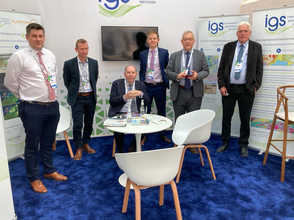
Planetary AI and IGS exhibiting at the Future Minerals Forum, Riyadh, January 2024
By Rory Somerset (Planetary AI)
(For more information please contact us at enquiries@igsint.com)
IGS and Partner PGW Perform Geophysical Data QA/QC in Nigeria and India
Recently, Dr. Feargal Murphy and IGS partner PGW performed QA/QC on geophysical data in Nigeria. The project for Mindiver (Mineral Sector Support For Economic Diversification) is coming to a close and IGS (with partners PGW) has performed QA/QC of the final acquisition and interpretation products.
The acquisition was completed this week and a total of 1.56 million line km of magnetic gradiometry and radiometric data was acquired by Xcalibur since the project commenced in late 2021.
On another ongoing project, IGS in collaboration with IDPEX partners PGW and Datacode, have begun QA/QC of a magnetic/radiometric fixed wing survey flown by McPhar/Xcalibur for the Geological Survey of India in the state of Gujarat. This latest survey covers block 15 of the GSI’s ongoing national airborne geophysics acquisition program.
By Dr. Feargal Murphy – Principal Geophysicist
(For more information please contact us at enquiries@igsint.com)
IGS Attends PDAC 2024 in Toronto
It was great to attend PDAC from the 3rd – 6th March 2024 in Toronto. The event proved again to be a success for IGS in meeting clients and establishing discussions on some exciting new opportunities for the company.
PDAC (Prospectors & Developers Association of Canada) is the World’s Premier Mineral Exploration & Mining Convention. It is the leading event for people, companies and organizations connected to mineral exploration.
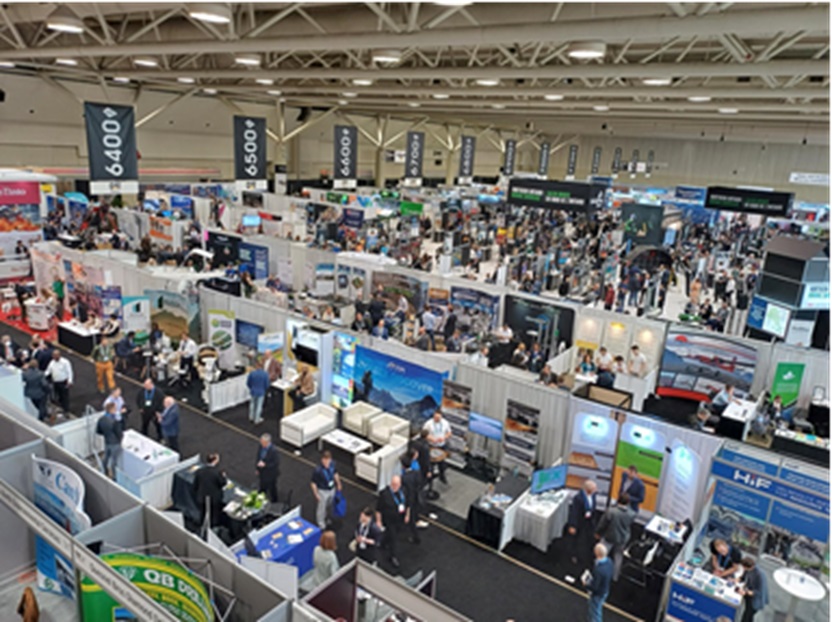
By Dr. Peter Zawada – Managing Director
(For more information please contact us at enquiries@igsint.com)
IGS Providing Technical Support to the Ministry of Mining and Heavy Industry in Mongolia
Ash Johnson and Mark Parker from IGS recently provided assistance to the Ministry of Mining and Heavy Industry, Mongolia to prepare the technical specifications for a new multi-parameter airborne geophysical survey over a large section of South-Central Mongolia. The aim of the project is to identify areas with the potential to host critical mineral deposits. IGS were kindly supported by the British Embassy, Mongolia under the leadership of HM Ambassador Fiona Blyth. Full details of the tender can be found at https://lnkd.in/ewzUX-dm
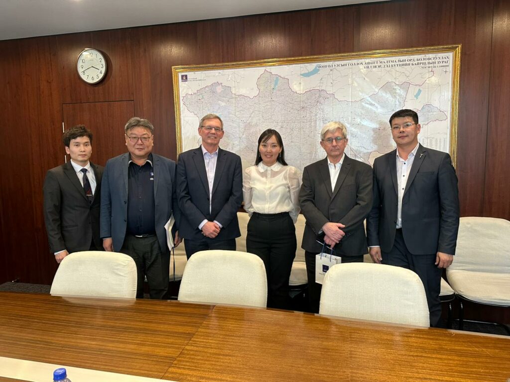
From L-R Ulzii Nyamlkhagva, Bayarkhangai Khishig-ochir, Ash Johnson, Uyanga Bold (Deputy Minister), Mark Parker, Sanchigdorj Khurelbaatar.
(For more information please contact us at enquiries@igsint.com)
IGS: TECHNICAL PARTNER TO THE SAUDI GEOLOGICAL SURVEY
IGS (International Geoscience Services) Ltd is a UK based, specialist consultancy supporting and promoting the mineral resource sector by collecting, quality control, defining technical specifications, compilation, value adding, interpreting and serving of geodata.
THE MINERAL PROMOTION SERVICES IGS PROVIDES
1 – National Mapping Programmes
IGS implements large geological, geochemical and geophysical mapping programmes used by governments and industry to support and stimulate mineral exploration. It supervises, monitors and signs-off on the quality of geological and geochemical mapping and airborne geophysical data.
2 – Institutional Strengthening
IGS provides a wealth of strategic management knowledge and experience to assist national geological survey organisations to transform and realign their strategic objectives and operations.
3 – Geodata Management
IGS are experts in the collection, interpretation, management, and serving of geodata typically held by geoscience survey organisations e.g., processing and interpreting geophysical data, setting up geoportals, compiling prospectivity maps and integrating geological map data on GIS platforms.
4 – Training and Capacity Building
IGS is experienced in delivering training and capacity building projects around the world in a variety of geoscientific disciplines.
5 – Target Generation
We help to identify prospective areas for mineralisation using innovative approaches by applying semantically driven technology and AI technologies for regions, countries or discrete geological terranes.
Project experience
IGS is internationally renowned for its supervision and quality control of large geodata acquisition programmes commissioned by governments, worldwide – funded by the World Bank, national governments and other agencies. IGS is the lead party as Technical Partner to the Saudi Geological Survey for the surveying of the Arabian Shield in Saudi Arabia (600 000 km2). This multi-year project provides quality control of contractors for the geological mapping, geochemical sampling programme, airborne geophysical survey, upgrading the National Geodatabase and the National Core Library of contractors.
For more information please contact us at:
Email: Enquiries@igsint.com
Tel: +44 (0) 7535 206474
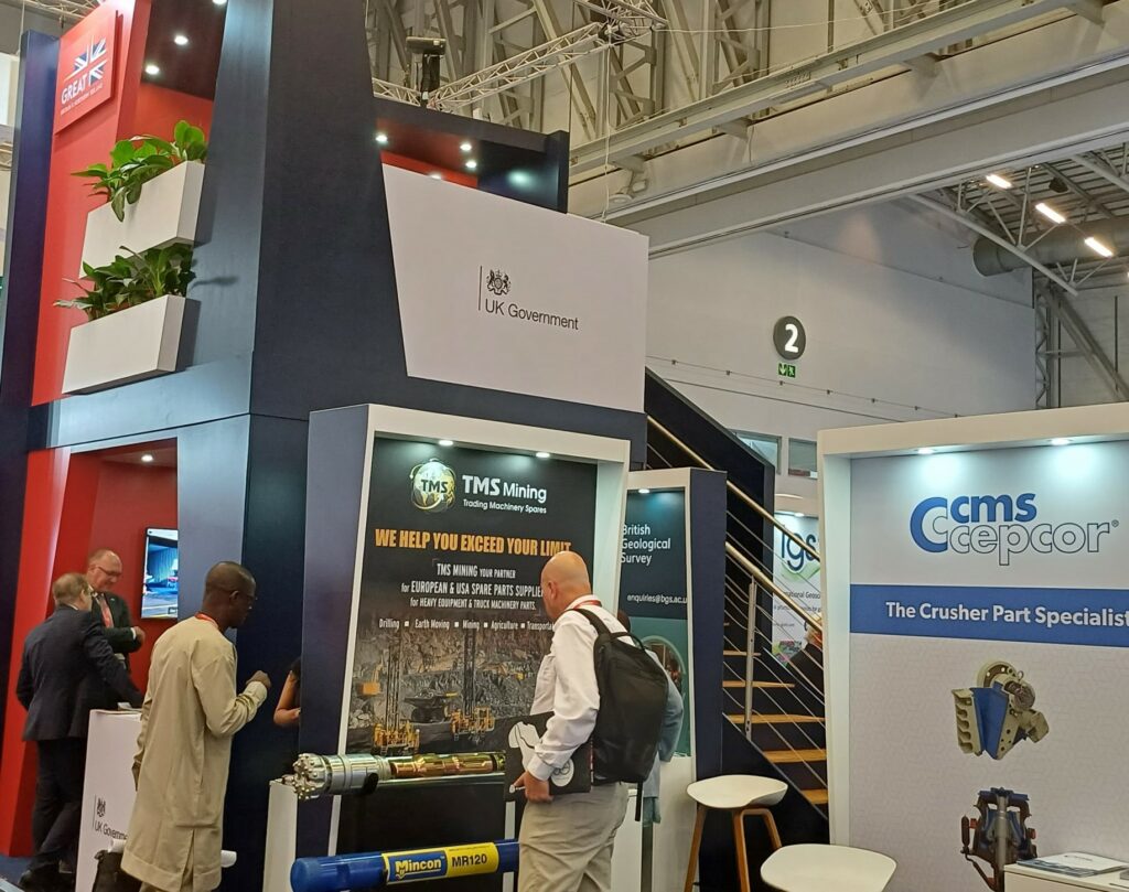
IGS exhibiting in INDABA 5-8 February 2024 in Cape Town , South Africa
A very successful exhibition at Indaba 2024 in Cape Town, South Africa. It has been great to meet a range of our partners and clients across the Africa region and beyond, and we look forward to engaging in many more successful projects across the region.
Thanks to the UK Department of Business and Trade Africa team for hosting us on the UK pavilion.
By Dr. Peter Zawada – Managing Director
(For more information please contact us at enquiries@igsint.com)
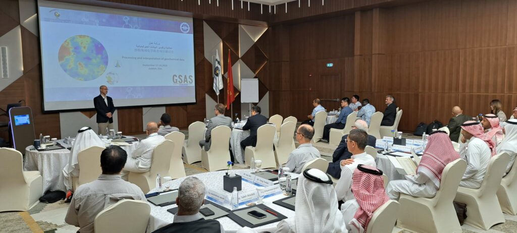
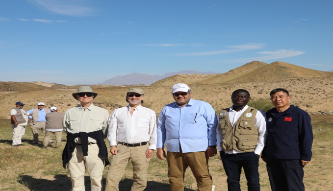
Completion of field work on the High-Resolution Geochemical Survey of the Arabian Shield (GSAS) project
The field work of the High-Resolution Geochemical Survey of the Arabian Shield (GSAS) project which covers the entire Arabian Shield (c. 600,000 km²), commissioned by the Saudi Geological Survey (SGS) with International Geoscience Services (IGS) as Lead Technical Partners (TPs), and conducted by the Chinese Geological Survey (CGS) including analyses of 76 elements for each sample have been completed successfully.
More than 88,000 stream sediment samples were successfully collected with no incident or LTI (Loss Time Injury) recorded since March 2022. This is a great achievement for the team (SGS-CGS-TP) as well as IGS (Lead Technical Partners). As part of celebration for this milestone achievement and successful completion of the field sampling.
Thanks to the Technical Partners (TPs) for joining hands with the Management of SGS led by His Excellency, Eng. Abdullah Al-Shamrani (Chief Executive Officer/President of SGS) and the Management of China Geological Survey (CGS) for collecting the samples.
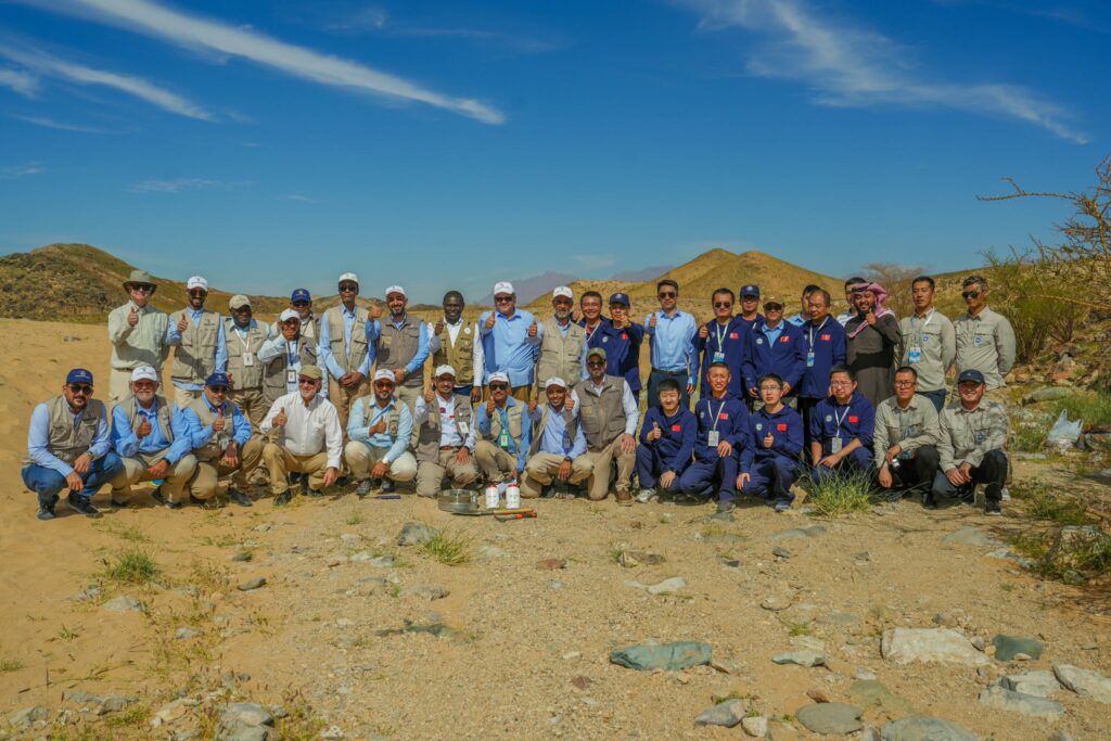
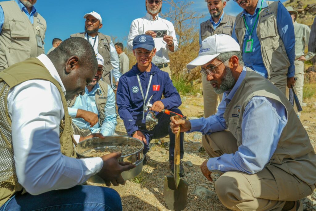
Members of the Technical Partner team together with staff from SGS and CGS, collect the final sample of more than 88,000 stream sediment samples within the Arabian Shield. These samples are analysed for 76 elements aiming to create a state-to-the are database and produce geochemical maps.
By Dr. Reik Degler – Project Geologist
(For more information please contact us at enquiries@igsint.com)
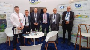
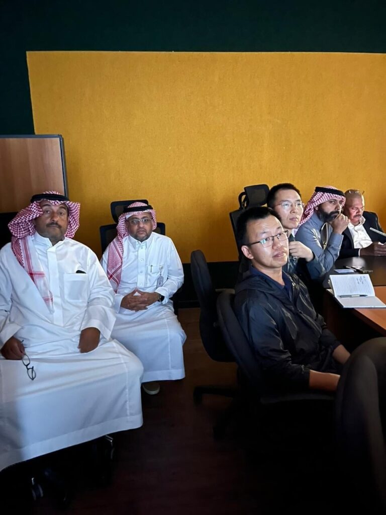
IDPeX and MSA meet in Riyadh to discuss our project in India
IDPeX and MSA have been working together on a project for OMC (Odisha Mining Corporation Limited) to provide exploration related support and technical assistance for mining blocks in Odisha, to be auctioned by the State Government.
IDPeX is an Indian registererd consultancy that brings together the resources of IGS, PGW and Datacode. MSA is the contractual lead on the project and brings its valuable experience in mineral exploration. Because we all attended the Future Minerals Forum 24, in Riyadh, we took the opportunity to meet after FMF 24 to discuss progress on the project and to agree on further planning. A successful meeting and many thanks to all who attended.
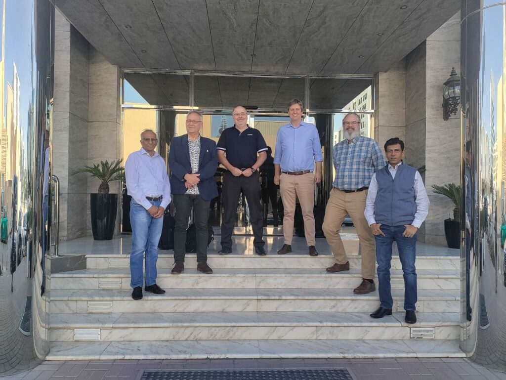
From left: S. Karunakar Rao (‘KK’) & Peter Zawada of IDPeX; Ian Haddon & Craig Blane of MSA; Stephen Reford & Asim Chatterjee of IDPeX
By Dr. Peter Zawada – Managing Director
(For more information please contact us at enquiries@igsint.com)
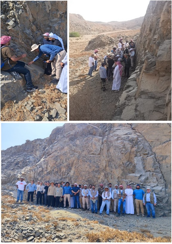
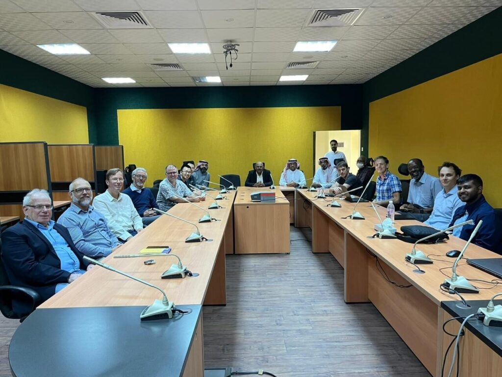
Contractor Presents Mobile Mapping Application for Geological Mapping Project of the Arabian Shield
As part of the preparation for the mobile digital mapping of the Arabia Shield, the contractor (China Geological Survey) presented a beta version of its self-developed mobile application. At a two-day workshop in Jeddah, geologists from the Saudi Geological Service (SGS) and IGS geologists as Technical Partner of SGS were able to get an introduction of how the software can be used in the field. Based on experiences made in the field and input by SGS and TP, the contractor aims to optimize on the mobile mapping application.
Geological Mapping of the Arabian Shield – Contractor presents Mobile Mapping Application
By Dr. Reik Degler – Project Geologist
(For more information please contact us at enquiries@igsint.com)
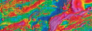
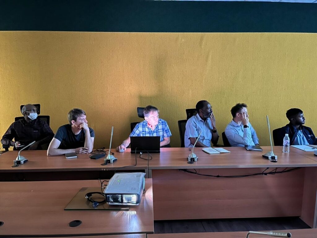
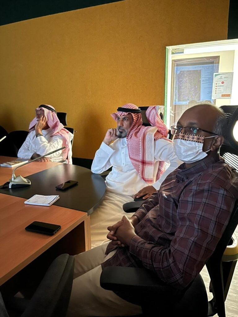
Dr Feargal Murphy presentation to experts from Arabian Shield Stratigraphic Commission
Dr Feargal Murphy recently presented initial results from SGS RGP airborne geophysics phase 1 (mag/rad) to experts from Arabian Shield Stratigraphic Commission (ASSC) group. The ASSC is a panel of international experts in Neoproterozoic geology who are developing an updated lithostratigraphy for the upcoming Arabian Shield mapping programme. The RGP phase 1 data is being acquired for SGS by Sander Geophysics Ltd and Xcalibur Multiphysics. IGS and colleagues from Patterson Grant and Watson (PGW) are technical advisors for the RGP geophysics programmes. IGS and GTK are technical partner for the RGP programme.
By Dr. Feargal Murphy – principal geophysicist
(For more information please contact us at enquiries@igsint.com)