Cameroon (Project design, QA/QC of geo-data acquisition)
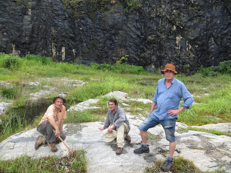
In 2012 IGS, trading as BGS International (BGSI) was contracted by the Cameroon Government via PRECASEM (Projet de renforcement des Capacités dans le Secteur Minier) to assist them in an effort to strengthen the mining sector. The project was funded by the World Bank. The objectives of this project were: To identify important zones of […]
Our Work in the Arabian Shield in Saudi Arabia
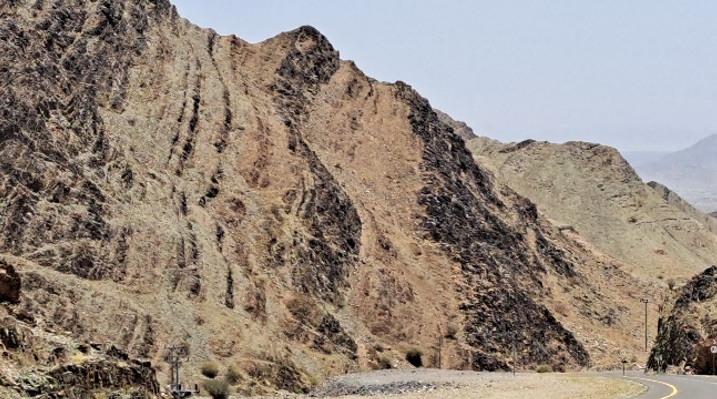
IGS is the Lead Partner in a consortium which is currently involved in an extensive project to acquire geological data of the Arabian Shield in Saudi Arabia, an area of more than 600,000 km2. The IGS consortium is officially the Technical Partner to the Geological Survey of Saudi Arabia (SGS) and has been contracted to […]
Our work in Mauritania
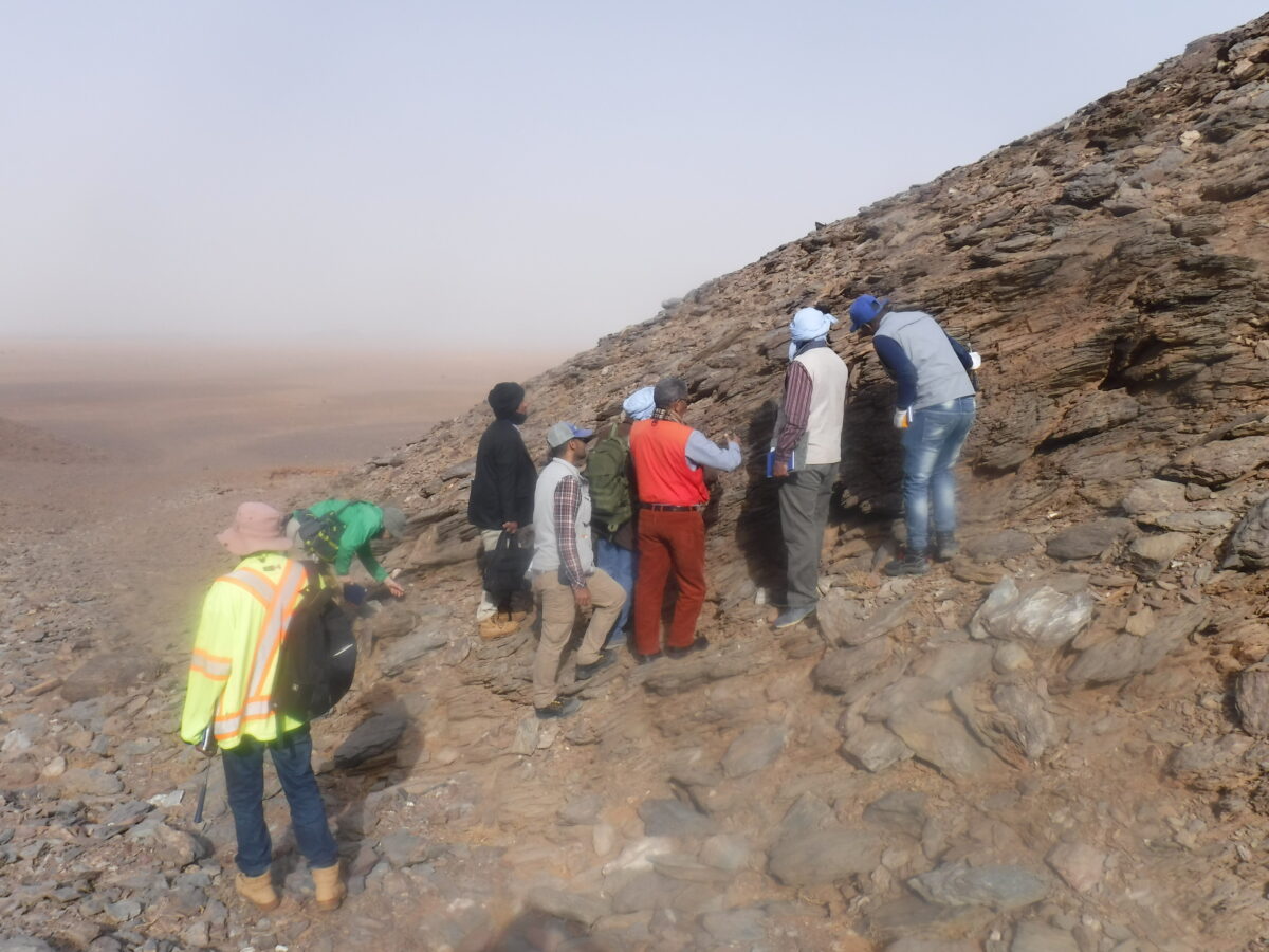
On behalf of Germany’s Federal Institute for Geosciences and Natural Resources (Bundesanstalt für Geowissenschaften und Rohstoffe, BGR), IGS has organised several training courses for geologists of the National Agency for Geological Research and Mining Heritage (Agence Nationale de Recherches Géologiques et du Patrimoine Minier (ANARPAM) of Mauritania. 11 geologists and geometricians were introduced to digital […]
Our work in Mozambique
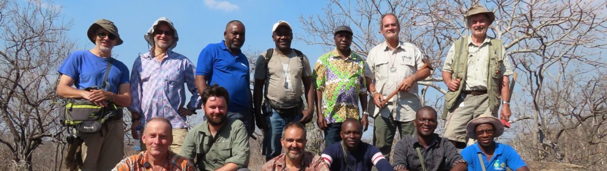
IGS have been managing the World Bank MAGTAP project creating 1:50,000 scale geology mapping of 25 map sheets in the Nampula Province, Mozambique. See our ESRI Story Map for more details.