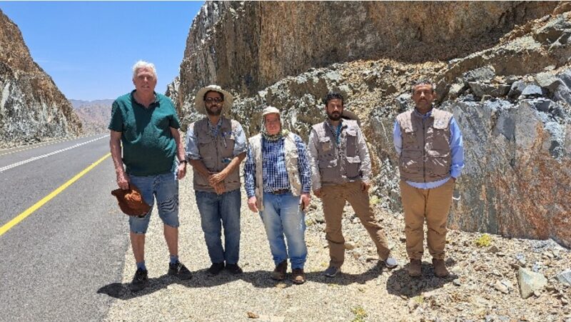
IGS is the Lead Partner in a consortium which is currently involved in an extensive project to acquire geological data of the Arabian Shield in Saudi Arabia, an area of more than 600,000 km2. The IGS consortium is officially the Technical Partner to the Geological Survey of Saudi Arabia (SGS) and has been contracted to do the QA/QC of the geological data and to provide technical advice to the SGS. The project officially started in July 2021 but was preceded by a series of three smaller projects which assist SGS to define and plan the project. The project should be completed by January 2028 although it will be succeeded by a second geological mapping phase. The main components of this project are:
- An airborne geophysical survey over the Arabian shield with two different companies collecting basic geophysical information (magnetic and radiometric) at a line spacing of 300 m and a height of 60 m. A planned second phase will concentrate on known mineral belts and will involve additional methods such as time-domain electromagnetics and gravity gradiometry.
- A geochemical stream-sediment sample survey at a density of 1 sample every 6.25 km2. This is followed by a second phase of heavy mineral surveys in areas of high mineral potential.
- Geological mapping at a scale of 1 : 100,000. In the first phase (2023-2028) four selected areas with a high mineral potential will be covered. In the second phase five more areas between the four original areas will be mapped for a total of 271 map sheets, covering the entire Arabian Shield. The second phase is scheduled to end in 2032.
- The compilation of a new modern and comprehensive National Geological Database (NGD) which will host all the newly acquired data, as well as historic legacy data.
- The construction of a new National Core Library (NCL) which will host existing core and other geochemical samples.
- A Stratigraphic Commission for the Arabian Shield (ASSC) which works in tandem with the geological mapping project to establish a modern stratigraphic classification system for the Arabian Shield geology based on existing and newly acquired geological data, backed up by an extensive database of geochronological data.
- Capacity building for SGS staff to enable them to carry out similar work in the future independently.
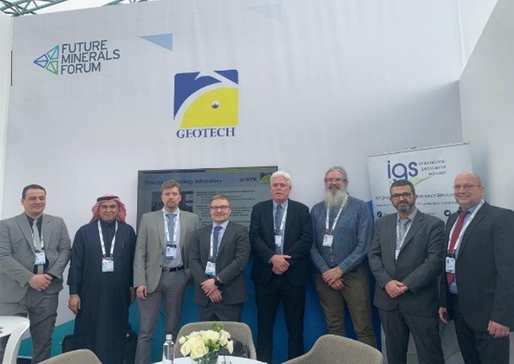
This project is unique in terms of the size of the area, the density of measurements and observations, as well as the range of activities. In order to comply with the requirements of this project IGS has, in addition to its permanent staff, contracted several external consultants with expertise in databases, geochemistry, geological mapping and geophysics.