On behalf of Germany’s Federal Institute for Geosciences and Natural Resources (Bundesanstalt für Geowissenschaften und Rohstoffe, BGR), IGS has organised several training courses for geologists of the National Agency for Geological Research and Mining Heritage (Agence Nationale de Recherches Géologiques et du Patrimoine Minier (ANARPAM) of Mauritania.
11 geologists and geometricians were introduced to digital geological surveying in the first three weeks of March 2022. In the first week, the participants were introduced to fundamentals in a one-week workshop in Nouakchott. Topics were the preparation for fieldwork such as creating a topographic base map, various tools and techniques used during fieldwork (e.g. structural compass, sample strategies), and the construction of geological sections.
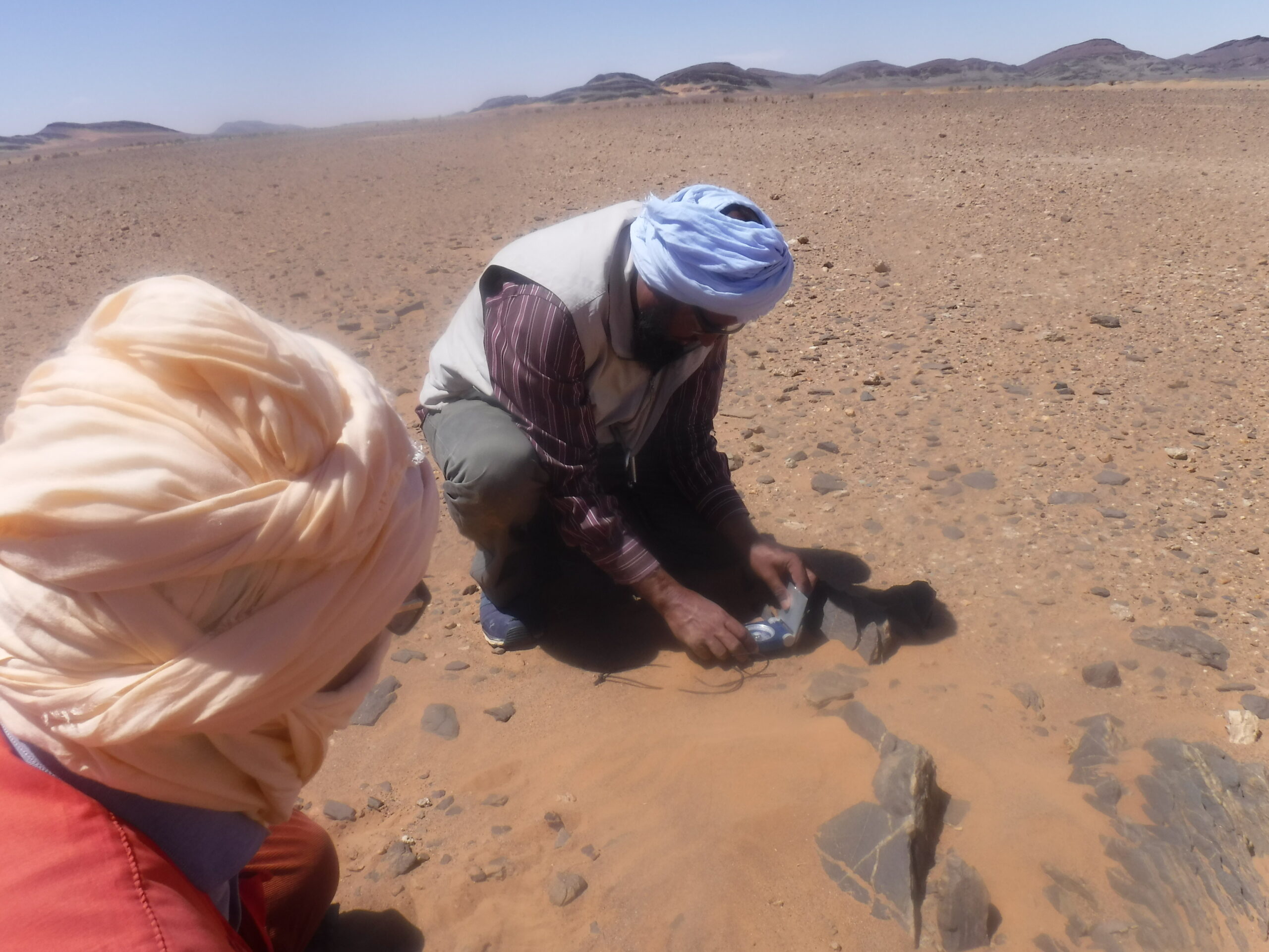
During the following two weeks of field training, the geologists used a tablet computer and Esri’s mobile application ArcGIS Field Maps, with a custom-made form to collect field data (including photographs with the built-in camera) a few kilometres to the east of Akjoujt. The ca. 25 km2 training area is in the Mauritanides belt but near the contact with the Rgueïbat shield and strata of the Taoudeni basin. Exposed are deformed low-grade rocks of unconstrained age. However, the presence of BIF suggests a late Archean to early Proterozoic age. Structural data were also treated in and interpreted with a stereonet software application.
A second workshop took place in Nouakchott in June 2022. A complete geological map was compiled in ArcGIS Pro based on the data captured during the field training.
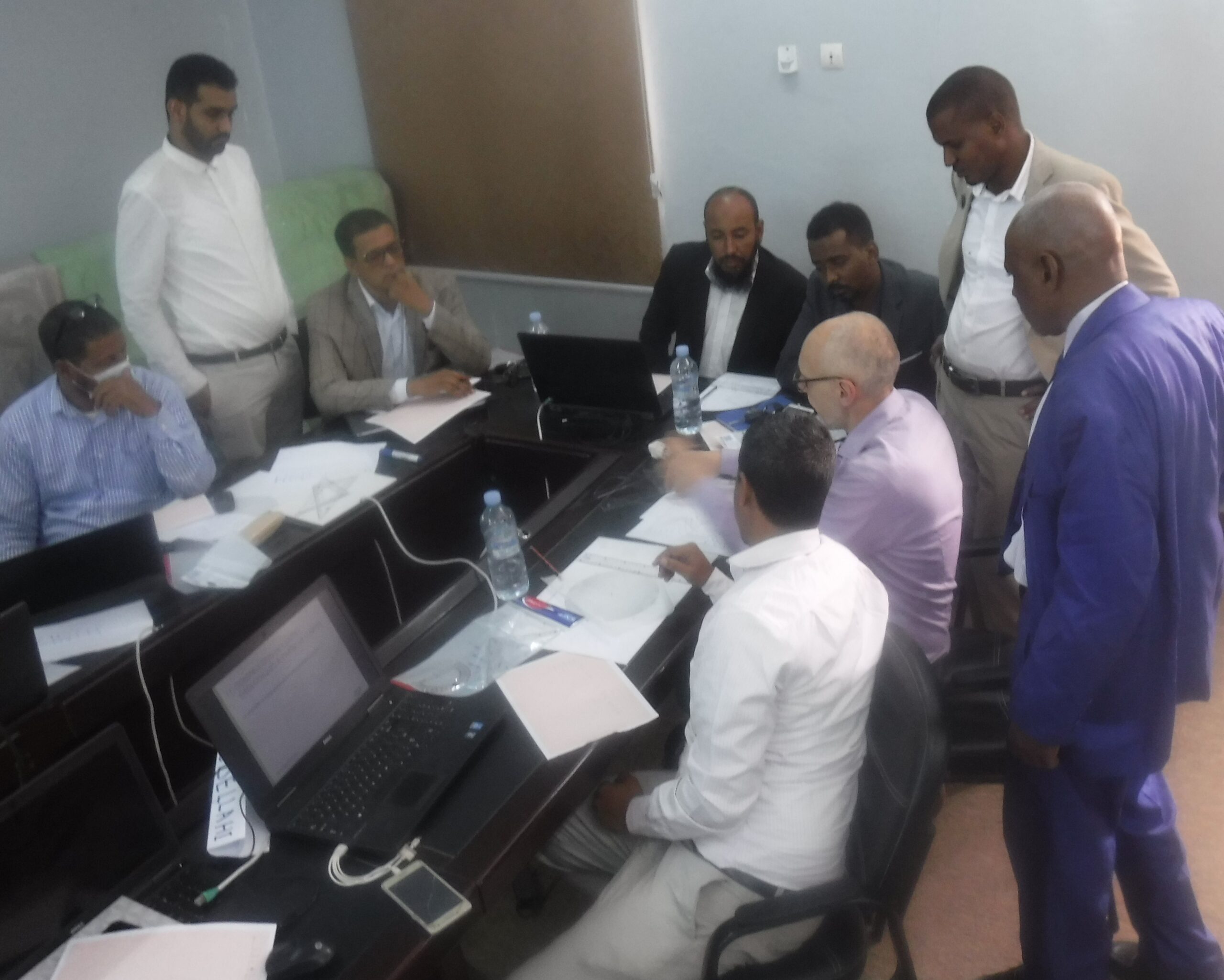
A follow-up workshop in December 2023 focused on planning and building forms for ArcGIS Field Maps. 12 geologists and geometrician built own forms, which allowed capturing lithological and structural data, photographs, and information about collected samples. The completed forms could then be used for fieldwork. The course was designed, prepared and presented by Dr Christoph J Dobmeier and Christopher Duku.