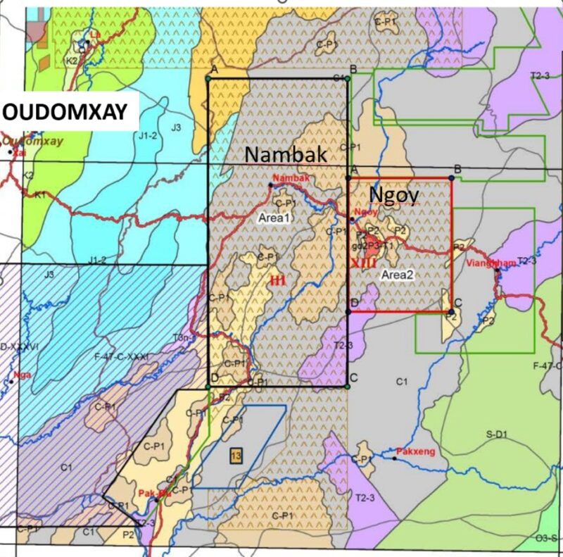
IGS took part in a geological data acquisition and development project in Lao PDR, starting in 2016 and finishing in 2018. IGS was part of an international consortium consisting of IGS, GTK (Geological Survey of Finland) and PGW (Paterson, Grant & Watson), with Sander Geophysics as a subcontractor. The objective was to develop a targeted geological interpretation of a selected area by integrating new airborne geophysical and geological mapping data, as well as other geo-data. The existing two gold occurrences in the area was used as a reference for defining other ore potential areas. Capacity building was central to the project, with the consortium training local geologists in digital mapping and enhancing their geophysical skills. The methodology followed in the project would serve as a model for future exploration activities to strengthen the mining sector.
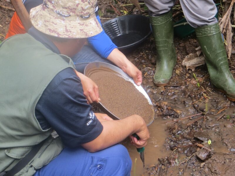
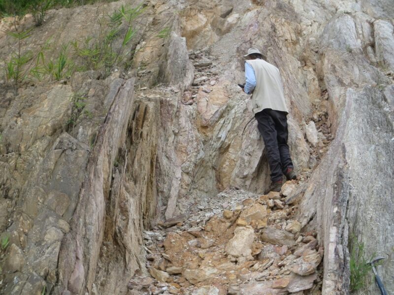
The activities in the project included an airborne geophysical survey by fixed wing airplanes and helicopter, detailed geological mapping at a scale of 1 : 50,000, some geochemical sampling, the acquisition of mineral deposit data, the description of mineralization types and the interpretation of mineral potential zones. In the process the project also developed a digital ArcGIS geodatabase.