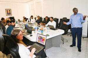
 IGS travelled to Islamabad in July and August for the third phase of the Training and Capacity Building Programme at the Geological Survey of Pakistan (GSP), delivered under the UK FCDO technical assistance REMIT (Revenue Mobilisation, Investment and Trade) Programme. This phase of the programme delivered a series of workshops focused on digital geological mapping techniques and workflows.
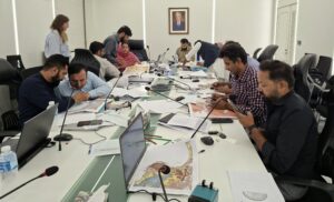
The first workshop, Remote Sensing Interpretation for Mapping Geologists, was delivered by Paul Macey and focused on strengthening the technical capacity of the trainees in spatial analysis techniques, remote sensing using geophysical imagery, and the integration of geological, geophysical and geochemical data to develop a geological understanding of an area.
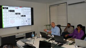
The second workshop, Digital Geological Mapping Workflows, was delivered by Rowan Vernon and Paul Macey and centered on developing the trainees’ understanding of the end-to-end digital workflow, from the initial stages of project planning through to the publication of a geological map. The workshop also covered the structure, design and management of the geodatabases that underpin a geological mapping project.
The final workshop, ArcGIS Pro for Geological Mapping, was delivered by Christopher Duku and Rowan Vernon and further developed the trainees’ ArcGIS Pro capabilities in the digitisation and layout of geological maps, as well as the development of customised field data collection systems using Esri Field Maps.
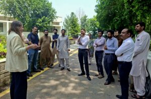
The IGS trainers greatly enjoyed their visit to GSP and appreciated the enthusiasm and commitment demonstrated by the trainees throughout the workshops.
(For more information please contact us at enquiries@igsint.com)