Mozambique MAGTAP project – second field campaign highlights

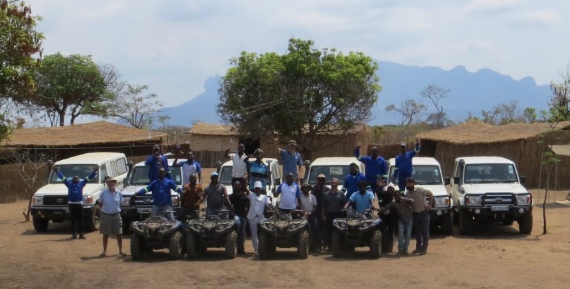
The second field campaign lasted from 26th August to 4th October 2019 and covered map sheets 393 Mutuali, 394 Malema, 433 Nintulo and 434 Inago – the most western sheets. Preliminary geological maps for the area have been ground truthed by the nine geologists involved who come from six organisations.

Over 1400 new waypoints have been added to the field database, with 349 on Mutuali, 419 on Malema, 335 on Nintulo and 346 on Inago. These will be added to the 290 waypoints inherited from earlier projects. 

A substantial number of samples are stored in Nampula at the Direcção Provincial dos Recursos Minerais e Energia (DIPREME) awaiting transport to laboratories in South Africa and Europe.
Latest news

IGS Team Delivered Final Phase of 30-Day Capacity Building Training Programme on Digital Geological Mapping at Geological Survey of Pakistan (GSP)

IGS delivers airborne geophysics training workshop to Geological Survey of Pakistan

IGS Delivers a Capacity Building Training programme in the Geological Survey of Pakistan (GSP) on Digital Geological Mapping

IGS is part of UK-supported capacity building initiative aimed at strengthening Pakistan’s geoscientific capabilities in support of its mineral sector

IGS Team Delivered Final Phase of 30-Day Capacity Building Training Programme on Digital Geological Mapping at Geological Survey of Pakistan (GSP)

IGS delivers airborne geophysics training workshop to Geological Survey of Pakistan

IGS Delivers a Capacity Building Training programme in the Geological Survey of Pakistan (GSP) on Digital Geological Mapping

IGS is part of UK-supported capacity building initiative aimed at strengthening Pakistan’s geoscientific capabilities in support of its mineral sector