IGS and GAF AG (Germany) are together working on a 12-month long project commissioned by the Suriname Ministry of Natural Resources entitled: ‘International mining specialist to support the establishment & the commissioning of the Minerals Institute of Suriname: Cadastre & Geological Survey’. This is one of several initiatives of a loan agreement between Suriname and the World Bank called the ‘Suriname Competitiveness and Sector Diversification Project’.
Suriname has an interesting geology with much of it located on the Guiana Shield, which has a high potential for a range of minerals including gold, diamonds, other metallic minerals as well as kaolin, critical minerals (including rare earth elements) and dimension stone. The extractive sector of Suriname is dominated by oil, gold and bauxite. The government wants to promote a regulated and responsible expansion of its mining industry by creating a new mining authority known as ‘Delfstoffen Authoriteit Suriname’, whose objective will be the promotion, coordination, regulation, monitoring and inspection of its mineral sector in a sustainable manner. Our project supports these objectives by developing a modernised mining cadastre and a new Geological Survey.
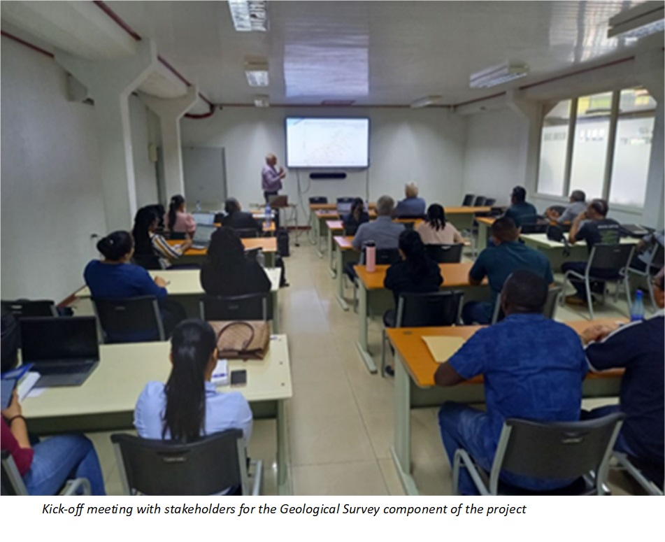
IGS is responsible for the development and early-stage implementation of a road map for a new Geological Survey. An important component of the work will be to identify the key geoscience and geodata programs that will attract investor interest in the country. GAF AG is responsible for the assessment and development of a road map for the implementation of a revised and modernised cadastre system. Both IGS and GAF AG have visited the country as part of the inception phase and are now working on the assessment part of the project for these components. Further updates for this project will be posted as the project progresses.
(For more information please contact us at enquiries@igsint.com)