IGS (International Geoscience Services) Ltd contributes to the largest geological mapping project as leader of the Technical Partner consortium (IGS, GTK, PGW, Geotech Arabia) to the Saudi Geological Survey. One element of support are field inspections during which the quality of the field work is assessed and the quality of the submitted field data is reviewed.
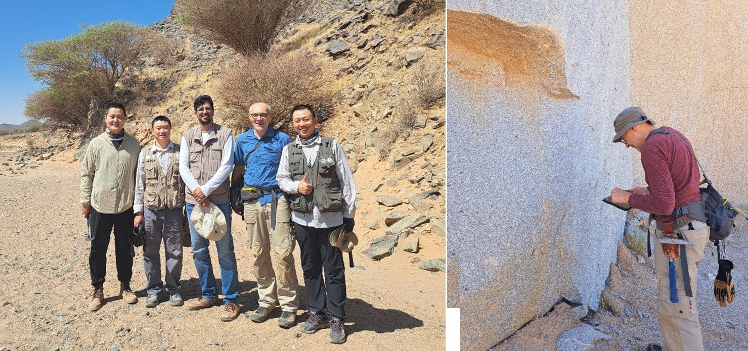
Geologists of the Technical Partner accompany the field activities continuously. The geologists spend part of their time with the field geologists to evaluate their work with a focus on how support and output can be optimized and to make sure that occupational safety is a top priority. Independently, they visit sites to verify geological data collected earlier by field geologists.
The second field season of project Detailed Geological Mapping of the Arabian Shield (GMAS) started in the first days of September 2024. In October 2024, activities focus on the easternmost part of the Arabian Shield between the cities of Al Quwajja, Ad Dawadimi and Bijadiya. GMAS is one of the many initiatives of the Saudi Vision 2030 plan for the Kingdom of Saudi Arabia.
By Dr. Christoph J. Dobmeier (EurGeol)– Principal Geologist (for more information please contact us at enquiries@igsint.com)