
Contractor Presents Mobile Mapping Application for Geological Mapping Project of the Arabian Shield

Date: 23rd October 2023
Posted by: Christopher Duku
Category: News

As part of the preparation for the mobile digital mapping of the Arabia Shield, the contractor (China Geological Survey) presented a beta version of its self-developed mobile application. At a two-day workshop in Jeddah, geologists from the Saudi Geological Service (SGS) and IGS geologists as Technical Partner of SGS were able to get an introduction of how the software can be used in the field. Based on experiences made in the field and input by SGS and TP, the contractor aims to optimize on the mobile mapping application.
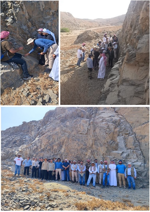
Geological Mapping of the Arabian Shield – Contractor presents Mobile Mapping Application

 By  Dr. Reik Degler – Project Geologist

(For more information please contact us at enquiries@igsint.com)

Latest news

IGS delivers airborne geophysics training workshop to Geological Survey of Pakistan

IGS Delivers a Capacity Building Training programme in the Geological Survey of Pakistan (GSP) on Digital Geological Mapping

IGS is part of UK-supported capacity building initiative aimed at strengthening Pakistan’s geoscientific capabilities in support of its mineral sector

IGS Attends Mining INDABA 2026 in Cape Town, South Africa

IGS delivers airborne geophysics training workshop to Geological Survey of Pakistan

IGS Delivers a Capacity Building Training programme in the Geological Survey of Pakistan (GSP) on Digital Geological Mapping

IGS is part of UK-supported capacity building initiative aimed at strengthening Pakistan’s geoscientific capabilities in support of its mineral sector

IGS Attends Mining INDABA 2026 in Cape Town, South Africa