Completion of field work on the High-Resolution Geochemical Survey of the Arabian Shield (GSAS) project

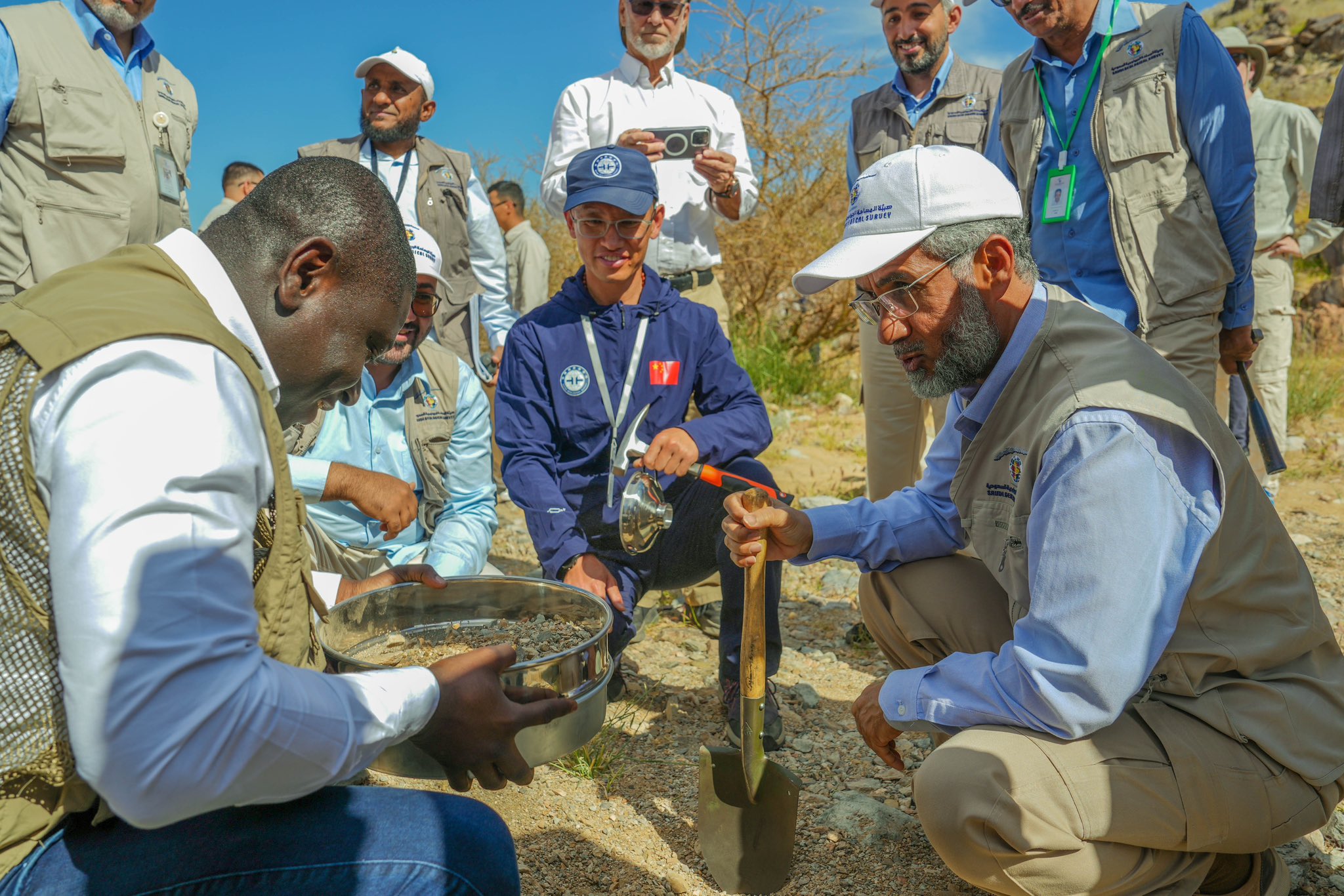
The field work of the High-Resolution Geochemical Survey of the Arabian Shield (GSAS) project which covers the entire Arabian Shield (c. 600,000 km²), commissioned by the Saudi Geological Survey (SGS) with International Geoscience Services (IGS) as Lead Technical Partners (TPs), and conducted by the Chinese Geological Survey (CGS) including analyses of 76 elements for each sample have been completed successfully.

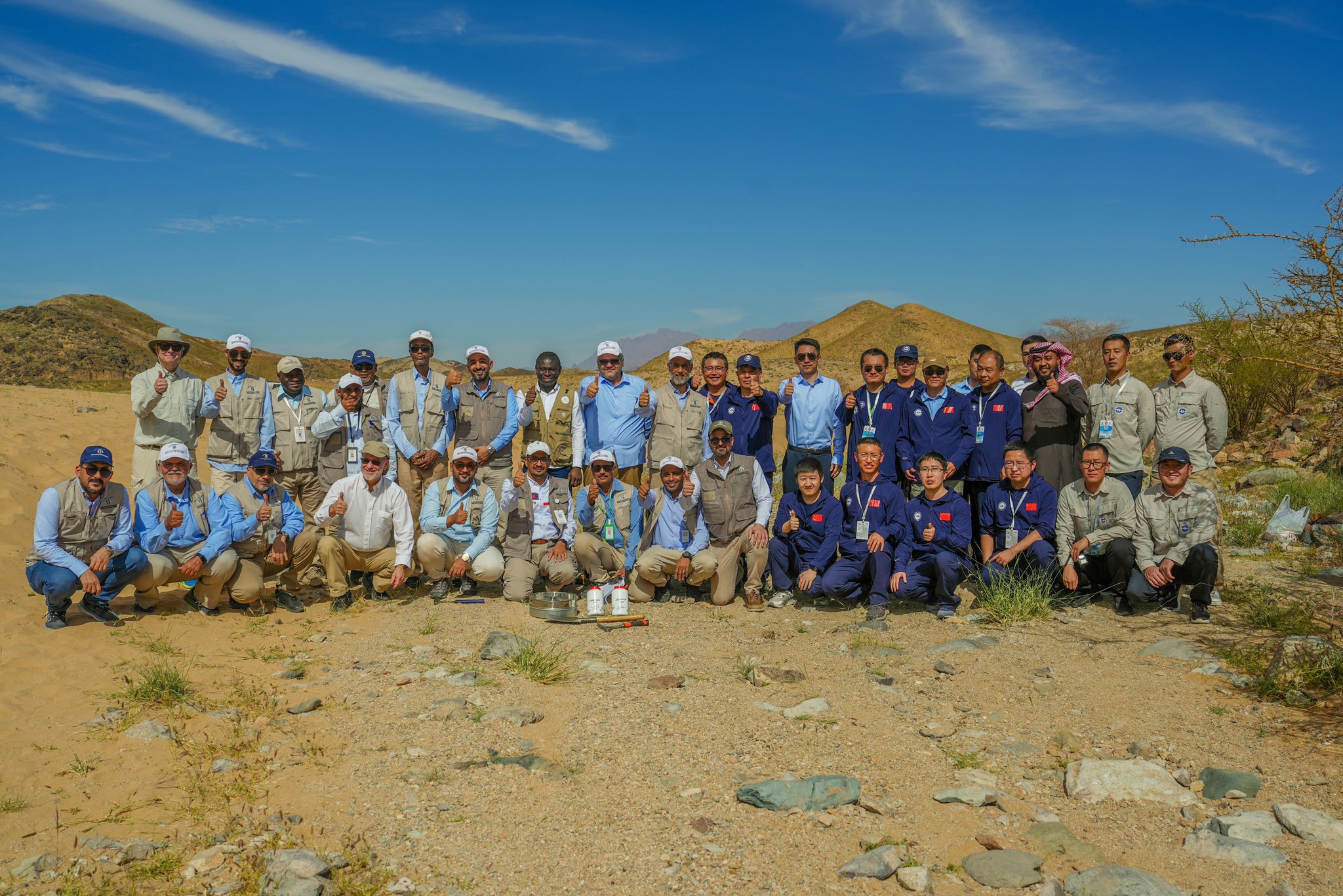
More than 88,000 stream sediment samples were successfully collected with no incident or LTI (Loss Time Injury) recorded since March 2022. This is a great achievement for the team (SGS-CGS-TP) as well as IGS (Lead Technical Partners). As part of celebration for this milestone achievement and successful completion of the field sampling.

Thanks to the Technical Partners (TPs) for joining hands with the Management of SGS led by His Excellency, Eng. Abdullah Al-Shamrani (Chief Executive Officer/President of SGS) and the Management of China Geological Survey (CGS) for collecting the samples.
By  Dr. Reik Degler – Project Geologist

(For more information please contact us at enquiries@igsint.com)

Latest news

IGS Team Delivered Final Phase of 30-Day Capacity Building Training Programme on Digital Geological Mapping at Geological Survey of Pakistan (GSP)

IGS delivers airborne geophysics training workshop to Geological Survey of Pakistan

IGS Delivers a Capacity Building Training programme in the Geological Survey of Pakistan (GSP) on Digital Geological Mapping

IGS is part of UK-supported capacity building initiative aimed at strengthening Pakistan’s geoscientific capabilities in support of its mineral sector

IGS Team Delivered Final Phase of 30-Day Capacity Building Training Programme on Digital Geological Mapping at Geological Survey of Pakistan (GSP)

IGS delivers airborne geophysics training workshop to Geological Survey of Pakistan

IGS Delivers a Capacity Building Training programme in the Geological Survey of Pakistan (GSP) on Digital Geological Mapping

IGS is part of UK-supported capacity building initiative aimed at strengthening Pakistan’s geoscientific capabilities in support of its mineral sector