The Regional Geological Survey Program – a foundation for a new Saudi mining sector
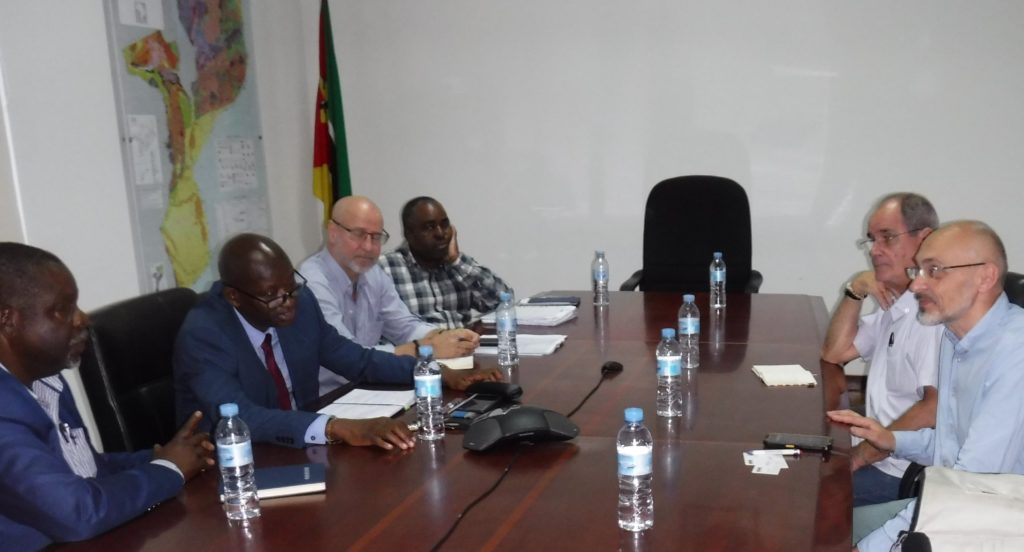
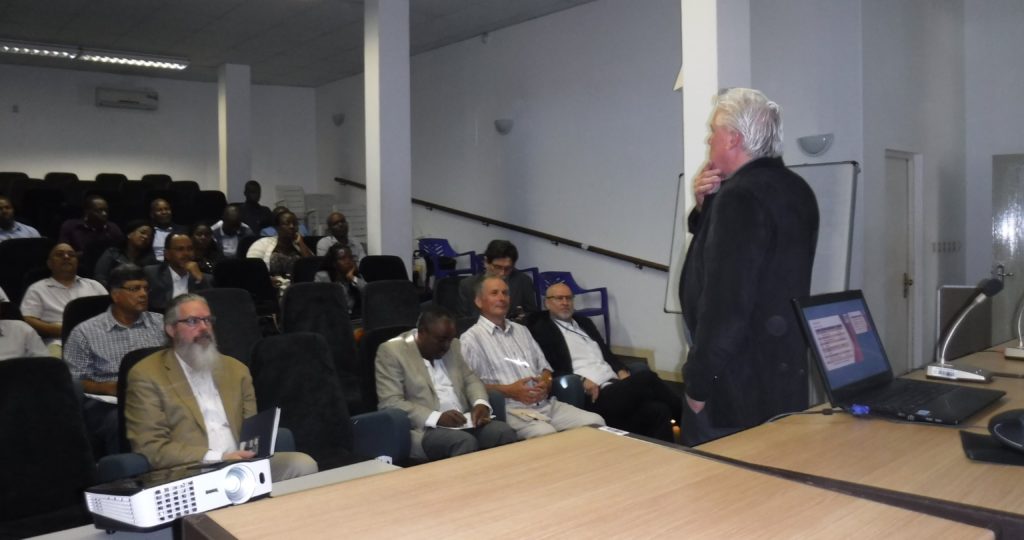
Peter Zawada, Managing Director of IGS, and Philipp Schmidt-Thomé of GTK, recently took part in a Mines and Money 5@5 Special Edition webinar sponsored by the Saudi Geological Survey. The webinar took place on Thursday 29th October and featured a discussion involving H.E. Khalid Saleh Al-Mudaifer – Vice Minister for Mining Affairs of the Ministry of Industry & Mineral Resources and those organizations that will be leading on parts of the Regional Geological Survey Program for Saudi Arabia.
Peter and Philipp’s presentation of the Technical Partner role in the RGP program starts from 32.50.
IGS is an International Partner of the recently launched Regional Geological Survey Program for Saudi Arabia
On Sunday 18th October 2020, the Saudi Geological Survey (SGS) launched its new Regional Geological Survey Program (RGP) in collaboration with several international partners including IGS (International Geoscience Services) Ltd.
In a virtual signing ceremony held in Riyadh, Saudi Arabia, headed by Bandar Al-Khorayef, Minister of Industry and Mineral Resources and Chairperson of the Board of Directors of SGS, one contract and three contract awarding documents were signed by the IGS-GTK consortium, Sander Geophysics Arabia Ltd, Xcalibur Airborne Geophysics and the China Geological Survey. The IGS-GTK consortium signed the contract awarding document, to provide technical assistance, quality control and supervision of the survey programs. The event signalled the start of the ambitious RGP, which will survey 600,000 km2 of the potentially mineral-rich Arabian Shield in western Saudi Arabia.
The IGS-GTK consortium was represented at the ceremony by Mark Parker, Chairman of the IGS Board who said:
“The IGS-GTK consortium is pleased and proud to have been awarded the important technical oversight contract, which is a key element in one of the most important geoscience and exploration initiatives ever. We greatly look forward to working closely with SGS and other agencies in ensuring that the data from this programme are of the highest possible quality, as befits such an important project.
We whole-heartedly support the primary objective of the Arabian Shield Geoscience Data Acquisition Program to attract investment into the mining sector, and we believe that the data will also find important application in many other activities such as soil science, geohazard assessment and environmental geology.
We are sure that SGS has made the right decision in choosing our group for this vital function – with our origins in two of the world’s oldest and best geological surveys, coupled with one of the world’s best geophysical consultants as a subcontractor and Saudi Arabia’s leading geoscience firm as our partner on the ground, we are confident that we will carry out our responsibilities effectively.
I would like to take this opportunity to express our appreciation to SGS and the team under the leadership of Dr Wadee Kashghari, whose passion and commitment as Head of the RGP program has inspired us all.
Our teams are excited by Saudi Arabia’s geology, natural and human history and culture. Both IGS and GTK have been working in Saudi Arabia for several years – some of our colleagues even for decades. These earlier projects have laid a solid foundation for further close cooperation with SGS, building up mutual trust with our Saudi colleagues and developing a good understanding of how we can support the Kingdom in the successful completion of the RGP project.
Once again, on behalf of our consortium, I am pleased and excited that we were awarded the role of Technical Partner and look forward to a long and fruitful working relationship with SGS.”
Links to media reports are provided below.
Saudi Press Agency report
Global Mining Review
ArabNews.com
MAGTAP Project: Training of Mozambiquan Geologists
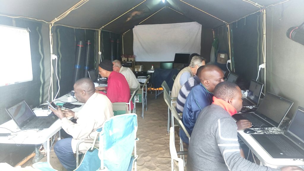
The 2019 field season of the geological mapping project in the Nampula Province in northern Mozambique has been completed. During three field campaigns between early July and mid-November detailed outcrop descriptions, structural measurements and samples were collected at more than 3,000 localities spread over ten 1 : 50,000 map sheets.
Parallel to the geological field work, the project also serves as an opportunity to provide INAMI (Instituto Nacional de Minas de Moçambique) geologists with on-site training in digital geological mapping techniques using digital devices and software. Additionally, the INAMI geologists were also trained in the processing and application of the collected field data. As feedback for this training we received the following comments in response to a questionnaire that was posed to the trainees at the end of the first field season:
Regarding geological on-site training…
My geological knowledge has improved a lot and working geographic programs used for data processing are new and I’ve had good training and I’m happy about it. There was a lot of patience on the side of the consultants to train us on these programs which facilitated my learning and work.
My skills have improved a lot and I am grateful. Specially handle data sets and having the opportunity to work with digital mapping was very important to me.…
Regarding the integration of colleagues to due rotational system…
The communication was very good with the new colleagues. We easily manged to integrate them to our “field camp family”.
The integration of colleagues from the other partners (BRGM, GONDWANA, PGW) was very good.
Certainly, these changes created some different dynamics and effected the harmony of work because, as we all know, despite the common goals, each geologist has his particularities regarding field work and methodologies
It was very good, and I pretty much enjoyed being able to meet and work with different people from different countries.
Identifying challenges in terms of field work…
The biggest challenge is field life itself, sleeping in a tent and facing some plants like monkey beans specially in the first two campaigns doesn’t just make life easier.
Honestly, the biggest challenge for me was to get along to get along with the English language. For the rainy season, I have already registered at the evening school, English lessons.
General comments…
The difference is that in this project there was rotation of the team members during field work, which enabled to get to know different work technique and strategies. Further, all team members were free to give their opinion and to participate in the discussions for the delimitation of geological units. Generally, the project is well organised, and the implementation is good.
This project comes up with more advanced technologies in data processing and availability. A big advantage are the recent geophysical data to target mapping areas of special interest. Another big plus are previously digitised outcrops using satellite imagery, especially in dense vegetation this was a perfect help. Other projects did not have this multitude of auxiliary material. The time until the beginning of the 2020 field season will be used to evaluate the collected geological field data and to use it in context with initial analysis results for the re-interpretation of the geological maps.
MAGTAP Story Map
Click here to open the ESRI Story Map for the MAGTAP project.
IGS staff member stars in Nottingham theatre production

IGS staff member Paul Turner was recently due to appear as a chorus member in the new amateur theatre production of Feargus the Musical, a show based on the life of 19th century radical Nottingham politician Feargus O’Connor. However, Paul was thrust into the main role of Feargus when the original actor fell ill only days before the production was due on stage. Paul is pictured centre stage in the top hat.
The musical was written by local Nottingham historian and musician Brian Lund and featured a 25 strong cast with 19 new songs. Any profits from the show will be going to two local charities.
Mozambique MAGTAP project – second field campaign highlights
The second field campaign lasted from 26th August to 4th October 2019 and covered map sheets 393 Mutuali, 394 Malema, 433 Nintulo and 434 Inago – the most western sheets. Preliminary geological maps for the area have been ground truthed by the nine geologists involved who come from six organisations.
Over 1400 new waypoints have been added to the field database, with 349 on Mutuali, 419 on Malema, 335 on Nintulo and 346 on Inago. These will be added to the 290 waypoints inherited from earlier projects.
A substantial number of samples are stored in Nampula at the Direcção Provincial dos Recursos Minerais e Energia (DIPREME) awaiting transport to laboratories in South Africa and Europe.
IGS Providing Technical Support to the Saudi Geological Survey
IGS has been assisting the Saudi Geological Survey (SGS) in compiling and reviewing a range of documentation associated with the Kingdom’s ambitious program to map the Arabian Shield. This program will generate high-resolution datasets for geology, geophysics and geochemistry. Along with the development of a National Core Library and a National Geo Data Centre the program forms part of Saudi Arabia’s Vision 2030.
IGS is honoured to be part of this program, which represents one of the largest single programs of geo-scientific data collection being considered.
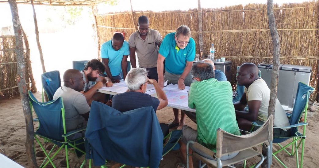
Mozambique MAGTAP project – Supervisory team meets field team during second field campaign
The MAGTAP technical supervision team (Hannu Makitie and Esko Korkiakoski), and representatives of the client organisations INAMI (Vladimiro Manhica) and DNGM (Elias Daudi), visited the field team during the second field campaign. The field team consists of geologists from IGS, BRGM, GONDWANA, INAMI, DNGM, and DIPREME Nampula. They undertook a joint field excursion through the north-eastern part of map sheet Malema (394) which exposes granulites. The second field campaign started on 26 August and is operating from a field camp near Malema in Nampula Province. The four 1:50,000 map sheets being surveyed are Mutuali (393), Malema (394), Nintulo (433) and Inago (434).
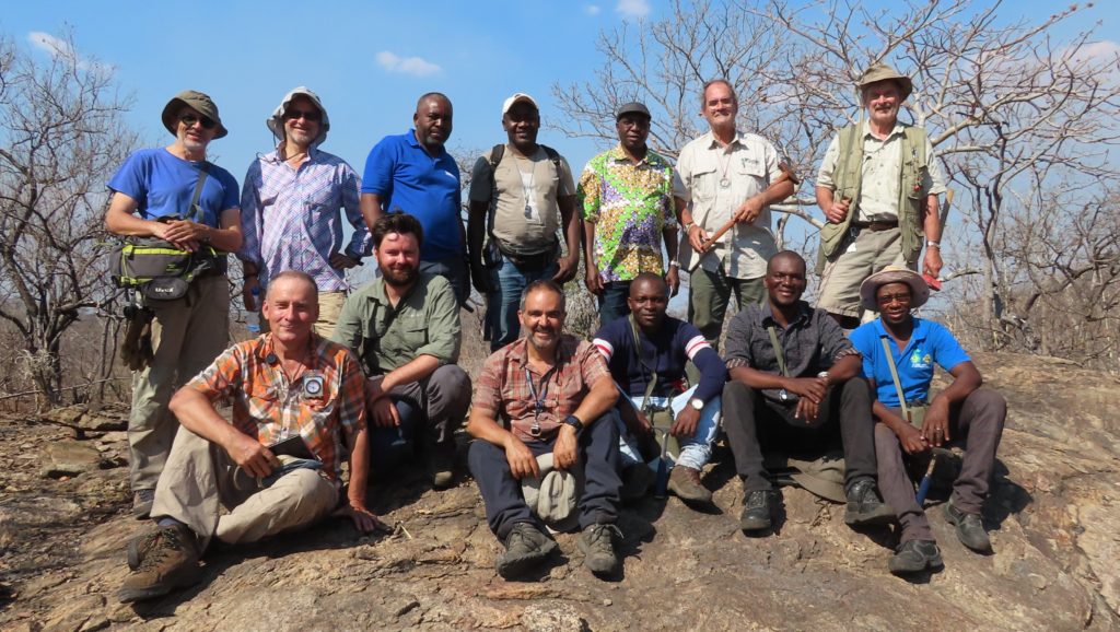
Photo credit: Didier Lahondere (BRGM).
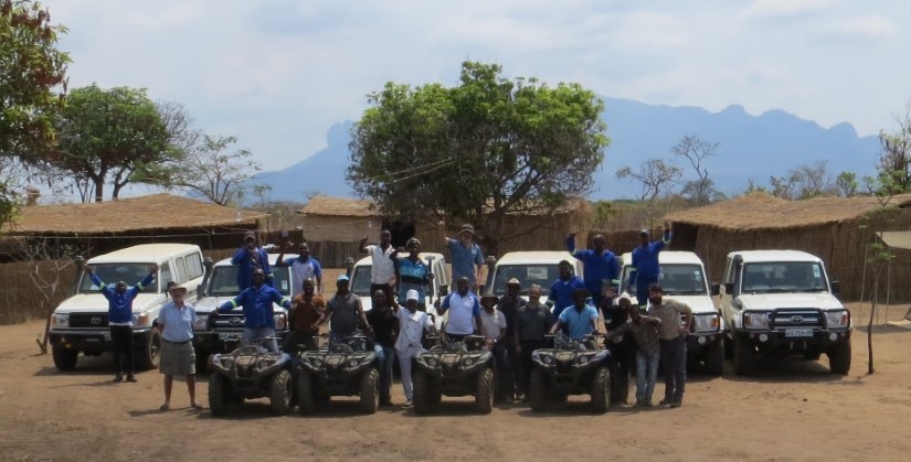
Mozambique MAGTAP project – August 2019 – a successful first field campaign
Between 8 July and 8 August 2019 a total of 956 waypoints have been recorded within the first field area covering the three 1:50,000 map sheets Namecuna (395), Merripa (396) and Norre (397). A team of nine field geologists used personal electronic devices and digital mapping software to complete the work using GIS data packages prepared by IGS. The field camp was situated at Riane in Ribaue District (Nampula Province).
Picture credit: Christoph J. Dobmeier (IGS, Field Team Leader).
Mozambique MAGTAP project – Field programme begins
The field programme for the geological mapping project was started with a kick-off workshop in Maputo (3 & 4 June 2019). The workshop took place in the lecture hall of the Museum of Natural History in Maputo. The field programme commenced on 8 July with the first field campaign running until 10 August. Two more campaigns are scheduled for 2019. Presenters were Christoph J. Dobmeier (IGS), Stephen Reford (PGW, first row, left), and Frederick Hartzer (IGS, addressing the audience). Other attendees were staff from INAMI, DNGM, and the University of Maputo, the MAGTAP technical supervision team (Hannu Makitie and Esko Korkiakoski, first and second from right), and representatives of private companies.
Frik Hartzer (IGS) addresses the workshop