
Mozambique MAGTAP project – August 2019 – a successful first field campaign

Between 8 July and 8 August 2019 a total of 956 waypoints have been recorded within the first field area covering the three 1:50,000 map sheets Namecuna (395), Merripa (396) and Norre (397). A team of nine field geologists used personal electronic devices and digital mapping software to complete the work using GIS data packages prepared by IGS. The field camp was situated at Riane in Ribaue District (Nampula Province).
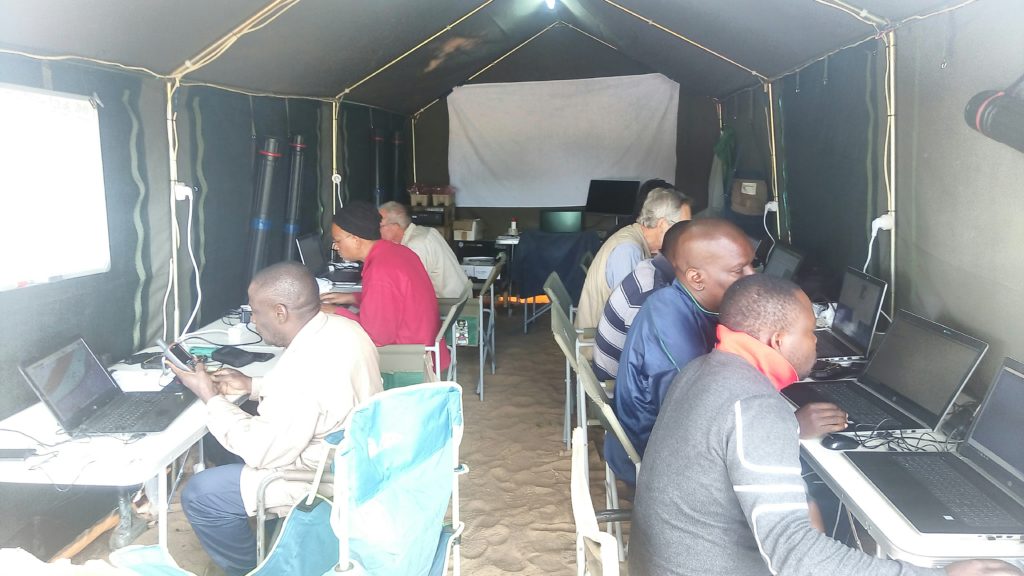
The field team working with the collected digital data. From left to right: Rogerio Matola (DNGM), Daud Jamal (GONDWANA), Jean-Christian Goujou (BRGM), Reik Degler (IGS), Peter Pitfield (IGS), Temoteo Adriano (INAMI), Fila Lazaro (DIPREME Nampula), Honesto Adamo (DIPREME Nampula).
Picture credit: Christoph J. Dobmeier (IGS, Field Team Leader).

Latest news

IGS Team Delivered Final Phase of 30-Day Capacity Building Training Programme on Digital Geological Mapping at Geological Survey of Pakistan (GSP)

IGS delivers airborne geophysics training workshop to Geological Survey of Pakistan

IGS Delivers a Capacity Building Training programme in the Geological Survey of Pakistan (GSP) on Digital Geological Mapping

IGS is part of UK-supported capacity building initiative aimed at strengthening Pakistan’s geoscientific capabilities in support of its mineral sector

IGS Team Delivered Final Phase of 30-Day Capacity Building Training Programme on Digital Geological Mapping at Geological Survey of Pakistan (GSP)

IGS delivers airborne geophysics training workshop to Geological Survey of Pakistan

IGS Delivers a Capacity Building Training programme in the Geological Survey of Pakistan (GSP) on Digital Geological Mapping

IGS is part of UK-supported capacity building initiative aimed at strengthening Pakistan’s geoscientific capabilities in support of its mineral sector