Detailed Geological Mapping of the Arabian Shield

Date: 13th February 2024
Posted by: Christopher Duku
Category: News

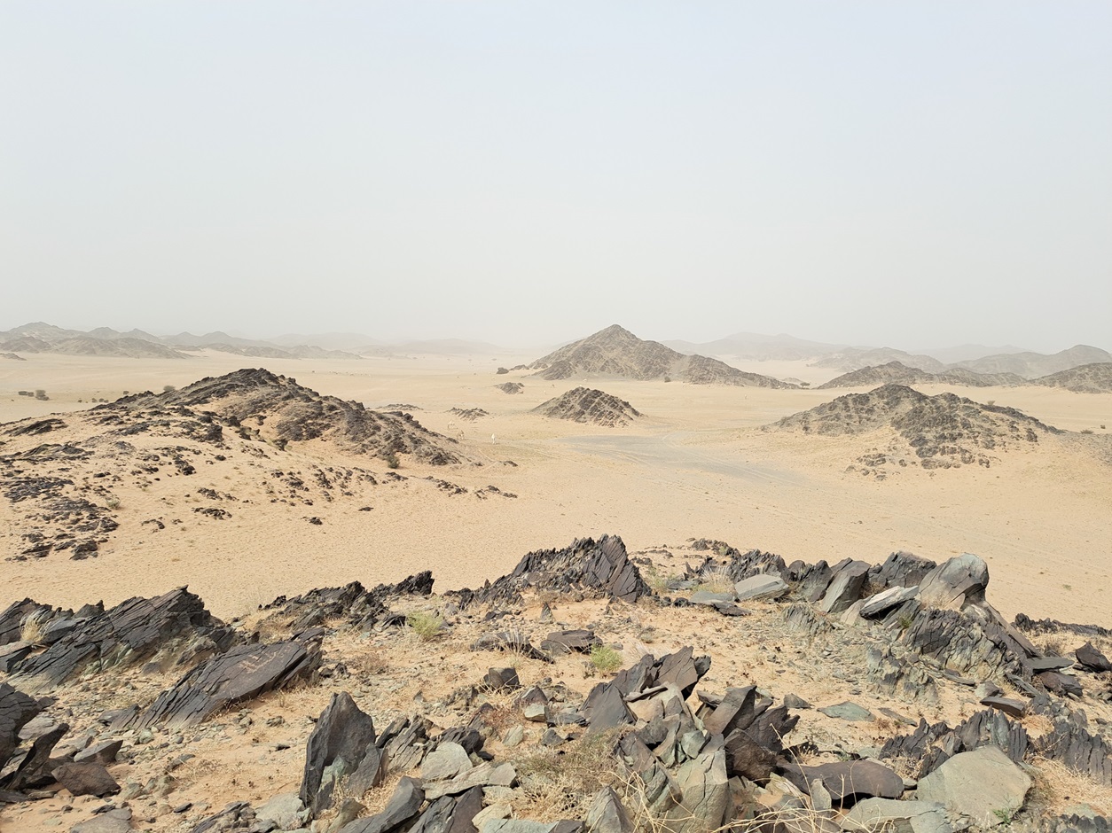
Field work under the  (GMAS) project began on 05 February 2024 north-west of Ar Ruwaidhah on map sheet 4423-4 Jabal Damkh. The objective of the project is to generate a seamless and homogeneous geological map on a scale of 1:100 000 for the entire Arabian Shield (c. 650,000 km²).

IGS(International Geoscience Services)limited is involved in this very extensive geological mapping programme as Lead Technical Partner (TP) of the contracting authority, the Saudi Geological Survey (SGS). The most important task is the supervision of the contractor, the China Geological Survey (CGS).A first set of 24 geological maps (out of a total of 271 map sheets) is expected to be completed by the end of this year.

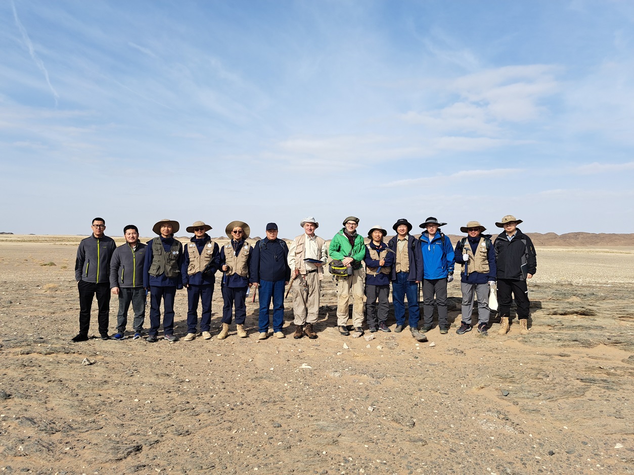
By Dr. Christoph J. Dobmeier (EurGeol)– Principal Geologist

(For more information please contact us at enquiries@igsint.com)

Latest news

IGS is working in Collaboration with GeoOptimist

The Exploration Centre of the Saudi Geological Survey (SGS) organised a Workshop on Lithium Exploration for a Sustainable Future

IGS Attended Mining INDABA in Cape Town, 3rd – 6th February 2025

IGS Team at FMF25 in Riyadh and Dr Feargal Murphy Speaking at Knowledge Exchange Program in the conference