Airborne Geophysical Survey and Geological/Geochemical Mapping of Karamoja, Uganda
After an interruption of a year due to security concerns, field work for the geological mapping and the geochemical survey, resumed in February 2023, in the Karamoja region. IGS is the official partner of the Directorate of Geological Survey and Mines (DGSM) in collaboration with PGW and is responsible for controlling the quality of all project related activities. The mapping and the geochemical sampling are conducted by field teams contracted by Xcalibur Multiphysics and the DGSM. In close cooperation with IGS experts and its partner, target areas were determined using the latest geophysical data and legacy field data. The results of the geology and geochemistry for the Karamoja region will be of great assistance in the future exploration of mineral resources.
Due to security-related issues, IGS conducts much of its quality control and review of project deliverables, remotely.
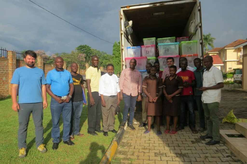
A joint exercise in Mbale (Eastern Uganda) between the client (DGSM), the contractor (Xcalibur Multiphysics) and the quality controller (IGS/PGW) where stream-sediment and bulk-rock samples were inspected and transported to the preparation laboratory in Entebbe. The truck contains samples from the first of nine zones that were successfully sampled, with more to follow. After processing in Entebbe, the samples are sent to a commercial laboratory for multi-element analysis.
(For more information please contact us at enquiries@igsint.com)