IGS completes Mozambique mapping project
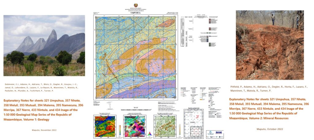
On schedule, IGS, together with its partners BRGM, Gondwana and PGW, completed a mapping project in north-eastern Mozambique with the delivery of ten geological maps at a scale of 1:50,000 and the accompanying sheet explanations in two volumes for the geology and the mineral resources.
The approved products were passed on to INAMI (Instituto Nacional de Minas) on 11 November 2022.
The project was undertaken within the World Bank-financed Mining And Gas Technical Assistance Project (MAGTAP). Work included the acquisition and compilation of historical data, the interpretation of airborne geophysical data, the compilation of 25 preliminary geological maps, geological mapping of approximately 7,500 km2, inspection and cataloguing of all resource, the assessment of the resource potential, laboratory work (thin sections, whole rock analyses, age determination) and the production of ten geological maps and their accompanying GIS databases at a scale of 1:50000. Furthermore, five sheets of the Geological Map Series 1:250 000 were revised to incorporate the results of the survey.
(For more information please contact us at enquiries@igsint.com)